Puerto Jiménez Airport
Puerto Jiménez Airport (IATA: PJM, ICAO: MRPJ) is an airport serving Puerto Jiménez, a Gulf of Dulce coastal town in Puntarenas Province, Costa Rica. The airport is just east of the town. It is owned and managed by the country's Directorate General of Civil Aviation (DGAC).
Puerto Jiménez Airport | |||||||||||
|---|---|---|---|---|---|---|---|---|---|---|---|
| Summary | |||||||||||
| Airport type | Public | ||||||||||
| Owner | DGAC | ||||||||||
| Location | Puerto Jiménez, Costa Rica | ||||||||||
| Elevation AMSL | 7 ft / 2 m | ||||||||||
| Coordinates | 8°32′10″N 83°18′05″W | ||||||||||
| Map | |||||||||||
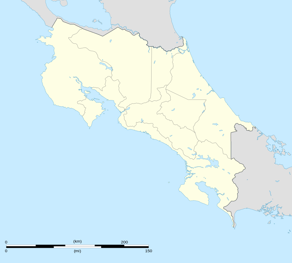 PJM Location in Costa Rica | |||||||||||
| Runways | |||||||||||
| |||||||||||
| Statistics (2014) | |||||||||||
| |||||||||||
Given the distance between Puerto Jiménez and the capital city of San José, the airport is the first choice for tourists traveling to Corcovado National Park and Golfo Dulce.
The runway is near the shoreline, and north approach and departure are over the water. The Coto 47 non-directional beacon (Ident: COT) is located 20.1 nautical miles (37 km) east-northeast of the airport. The David VOR-DME (Ident: DAV) is located 52.0 nautical miles (96 km) east of the airport.[6][7]
Airlines and destinations
| Airlines | Destinations |
|---|---|
| Aerobell Airlines | San José–Tobías Bolaños |
| Sansa Airlines | Drake Bay, San José–Juan Santamaría |
Passenger Statistics
As of 2014, Puerto Jiménez Airport is the third-busiest airport in Costa Rica by passenger traffic and the busiest domestic-only airport. These data show number of passengers movements into the airport, according to the Directorate General of Civil Aviation of Costa Rica's Statistical Yearbooks.
| Year | 2008 | 2009 | 2010 | 2011 | 2012 | 2013 | 2014 | 2015 |
|---|---|---|---|---|---|---|---|---|
| Passengers | 32,083 | 27,374 | 28,084 | 27,152 | 27,488 | 26,608 | 35,745 | T.B.A. |
| Growth (%) | T.B.A. | |||||||
| Source: Costa Rica's Directorate General of Civil Aviation (DGAC). Statistical Yearbooks (Years 2008,[8] 2009,[9] 2010,[10] 2011,[11] 2012,[12] 2013,[13] and 2014[1]) | ||||||||
| Year | 2000 | 2001 | 2002 | 2003 | 2004 | 2005 | 2006 | 2007 |
|---|---|---|---|---|---|---|---|---|
| Passengers | 8,166 | 16,374 | 14,404 | 19,646 | 27,086 | 24,191 | 23,028 | 33,646 |
| Growth (%) | N.A. | |||||||
| Source: Costa Rica's Directorate General of Civil Aviation (DGAC). Statistical Yearbooks (Years 2000-2005,[14] 2006,[15] and 2007,[16]) | ||||||||
References
- DGAC Yearbook 2014 Archived 2016-03-04 at the Wayback Machine
- Aeronautical Information Publication (AIP) of Costa Rica, Section III (Airstrips) Archived 2016-03-04 at the Wayback Machine
- Airport information for Puerto Jiménez Airport at Great Circle Mapper.
- "Puerto Jiménez Airport". SkyVector. Retrieved 15 March 2019.
- "Puerto Jimenez Airport". Google Maps. Google. Retrieved 15 March 2019.
- "Coto 47". Our Airports. Retrieved 15 March 2019.
- "David VOR". Our Airports. Retrieved 15 March 2019.
- DGAC Yearbook 2008 Archived 2016-03-04 at the Wayback Machine
- DGAC Yearbook 2009 Archived 2016-01-25 at the Wayback Machine
- DGAC Yearbook 2010 Archived 2016-03-04 at the Wayback Machine
- DGAC Yearbook 2011 Archived 2016-03-04 at the Wayback Machine
- DGAC Yearbook 2012 Archived 2016-03-04 at the Wayback Machine
- DGAC Yearbook 2013 Archived 2016-03-04 at the Wayback Machine
- Oficina de Planificación, DGAC de Costa Rica
- DGAC Yearbook 2006 Archived 2016-01-25 at the Wayback Machine
- DGAC Yearbook 2007 Archived 2016-01-26 at the Wayback Machine
External links
- OpenStreetMap - Puerto Jiménez Airport
- OurAirports - Puerto Jimenez Airport
- Accident history for PJM at Aviation Safety Network