Plantation Houses of the Alabama Canebrake and Their Associated Outbuildings Multiple Property Submission
The Plantation Houses of the Alabama Canebrake and Their Associated Outbuildings Multiple Property Submission is a multiple property submission of properties that were together listed on the National Register of Historic Places. The multiple property submission covers plantation properties that are within the Alabama Canebrake. The National Park Service has determined that all are historically or architecturally significant as a surviving group of plantation structures in what was once one of the wealthiest areas of the state.[1]
Plantation Houses of the Alabama Canebrake and Their Associated Outbuildings Multiple Property Submission | |
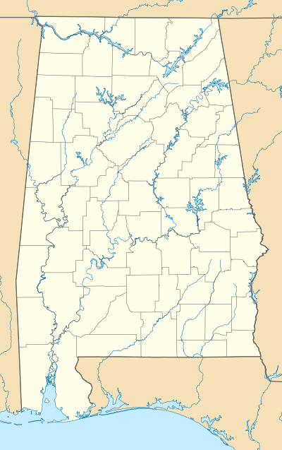 | |
| Location | Hale and Marengo counties, Alabama |
|---|---|
| Coordinates | 32°50′26″N 87°53′15″W |
| NRHP reference No. | 64500009 |
See also
References
- Plantation Houses of the Alabama Canebrake and Their Associated Outbuildings MPS NRIS Database, National Register of Historic Places. Retrieved 6 March 2008.
| Topics | |
|---|---|
| Lists by state |
|
| Lists by insular areas | |
| Lists by associated state | |
| Other areas | |
| Related | |
| |
This article is issued from Wikipedia. The text is licensed under Creative Commons - Attribution - Sharealike. Additional terms may apply for the media files.