Picton, North Yorkshire
Picton is a hamlet and civil parish located in the north of North Yorkshire, England. It is situated approximately 4 miles (6 km) south from Yarm,[2] 8 miles (13 km) south from Middlesbrough, and just over 1 mile (1.6 km) west from the A19 road. The name of the village derives from Old English and means "Pica's farm or settlement."[3] Up until the 1850s, the village was spelt as Pickton[4] with the old spelling being cut into the Picton Liberty stone which marked the boundary between the parishes of Picton and Kirklevington.[5][6]

| Picton | |
|---|---|
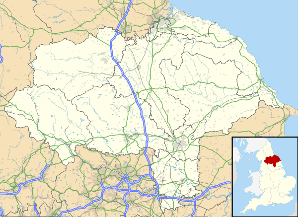 Picton Location within North Yorkshire | |
| Population | 135 (2011 census)[1] |
| OS grid reference | NZ415075 |
| • London | 210 mi (340 km) S |
| District | |
| Shire county | |
| Region | |
| Country | England |
| Sovereign state | United Kingdom |
| Post town | YARM |
| Postcode district | TS15 |
| Police | North Yorkshire |
| Fire | North Yorkshire |
| Ambulance | Yorkshire |
The parish is in the Hambleton district and had a population of 108 according to the 2001 census, increasing to 135 at the 2011 Census.[1] It lies just south of the border with the Stockton-on-Tees unitary authority.
A stream which lies east of the village is called the Picton Stell.[7]
Every year Picton holds a show on the third Saturday in July. The event has horse, dog, craft and horticulture competitions, and traditional games and races for children. There is also a bar, and stalls for refreshment and entertainment.
This village contains The Station public house and a small disused church, the grade II listed Church of St Hilary,[8] which was abandoned in 2004 due to structural problems.[9] The Station pub takes its name from the railway station that was just east of the village on the Northallerton to Eaglescliffe line. The station was also a junction for trains on the Picton to Battersby line. The station was closed down to passengers in 1960 and to goods in 1964.[10]
References
- UK Census (2011). "Local Area Report – Picton Parish (1170216907)". Nomis. Office for National Statistics. Retrieved 20 May 2018.
- The ancient parish of Kirklevington: historical and genealogical information at GENUKI (Picton was in this parish).
- Mills, A.D. (2011). A dictionary of British place-names. Oxford: Oxford University Press. p. 368. ISBN 9780199609086.
- "Historic liberty stone vanishes". BBC News. 6 April 2005. Retrieved 12 January 2018.
- "Police hunt thieves who stole part of village history". The Northern Echo. 8 April 2005. Retrieved 12 January 2018.
- "Mystery of vanishing stone solved". BBC News. 7 April 2005. Retrieved 12 January 2018.
- "304" (Map). Darlington & Richmond. 1:25,000. Explorer. Ordnance Survey. 2015. ISBN 9780319245569.
- Historic England. "Church of St Hilary (Grade II) (1150239)". National Heritage List for England. Retrieved 12 January 2018.
- Amos, Mike (1 August 2006). "In their proper Station". The Northern Echo. Retrieved 12 January 2018.
- Hoole, K. (1985). Railway stations of the North East. Newton Abbot: David & Charles. p. 181. ISBN 0-7153-8527-5.