Patterson Creek Mountain
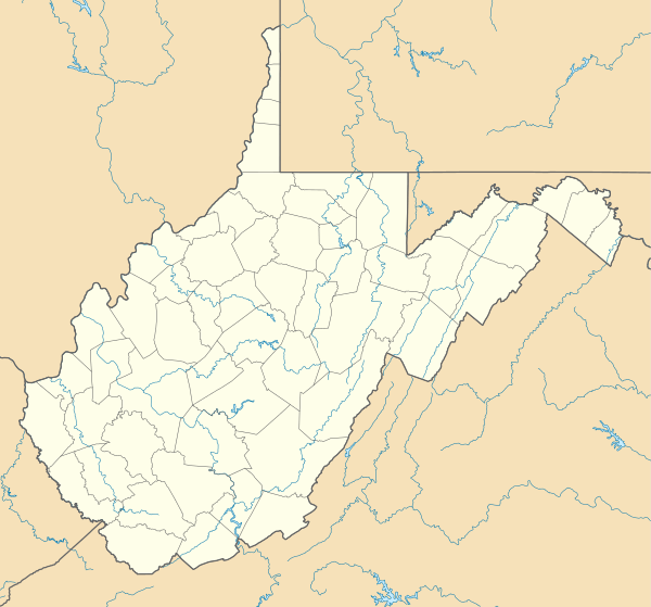
Patterson Creek Mountain is a mountain ridge[2] that forms the border between Mineral and Hampshire counties and Grant and Hardy Counties in West Virginia's Eastern Panhandle. The mountain's namesake, Patterson Creek, parallels its western flank. The southern end of the Patterson Creek Mountain is near the confluence of Lunice Creek and the South Branch Potomac River and its northern end is located southwest of Springfield. The mountain reaches its highest elevation at Charles Knob.
| Patterson Creek Mountain | |
|---|---|
 Patterson Creek Mountain | |
| Highest point | |
| Elevation | 2,618 ft (798 m) [1] |
| Coordinates | 39°13′34″N 78°59′21″W [1] |
| Geography | |
| Location | West Virginia, U.S. |
| Parent range | Ridge-and-Valley Appalachians |
| Topo map | USGS Old Fields |
| Climbing | |
| Easiest route | Drive |
Summits and Knobs
Patterson Creek Mountain is a mountain ridge made up of multiple peaks. The following are listed from the mountain's southern end to its northern end.
- Charles Knob, 2,723 feet (830 m)[3]
- Round Knob, 2,308 feet (703 m)
- Turkey Mountain, 2,172 feet (662 m)
- Huckleberry Ridge, 2,539 feet (774 m)
- Slate Lick Knob, 1,713 feet (522 m)
- Middle Ridge, 1,575 feet (480 m)
- Buck Ridge, 1,200 feet (366 m)
References
- "Patterson Creek Mountain". Geographic Names Information System. United States Geological Survey. Retrieved 2009-01-13.
- "Patterson Creek Mountain". Peakbagger.com. Retrieved 2011-08-08.
- "Charles Knob". Geographic Names Information System. United States Geological Survey. Retrieved 2011-08-08.
This article is issued from Wikipedia. The text is licensed under Creative Commons - Attribution - Sharealike. Additional terms may apply for the media files.