Padina, Belgrade
Padina (Serbian Cyrillic: Падина) is an urban neighborhood of Belgrade, the capital of Serbia. It is located in Belgrade's municipality of Zvezdara. After one of the central streets, it is also called Vojvoda Vlahović,[1] but is also referred to as Braće Jerković II, because it makes urban connection to it.[2] The neighborhood is sometimes also referred to as Medaković Padina (Serbian Cyrillic: Медаковић Падина, transl. Medaković Slope).[3]
Padina Падина | |
|---|---|
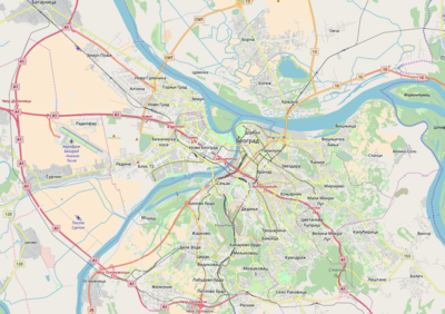 Padina Location within Belgrade | |
| Coordinates: 44°46′10″N 20°30′21″E | |
| Country | |
| Region | Belgrade |
| Municipality | Zvezdara |
| Population (2011) | |
| • Total | 6,998 |
| Time zone | UTC+1 (CET) |
| • Summer (DST) | UTC+2 (CEST) |
| Area code | +381(0)11 |
| Car plates | BG |
Location
Padina is located in the south-western section of the municipality, right on the border of the municipality of Voždovac, on the northern slope of the 234-metre-tall (768 ft) hill of Mokroluško Brdo, thus the name (Serbian padina, slope). It borders the neighborhoods of Medaković III on the north, Braće Jerković on the west while on the south-east, through the street of Cvetanova Ćuprija, it extends to the neighborhood of Veliki Mokri Lug. On the south it makes one urban section with the neighborhood of Braće Jerković II (or Mitrovo Brdo), where it descends into the Kumodraž Field, in the valley of the Kumodraški Potok stream.[2][4]
Population
Padina mostly belongs to the local community (administrative sub-municipal unit) of Vojvoda Mišić, which was formed within the municipality of Zvezdara before the 1991 census. Prior to that, non-urbanized area belonged to Veliki Mokri Lug.[5]
Local community had a population of 2,127 in 1991, 5,520 in 2002 and 6,998 in 2011.[6][7][8] This local community includes also parts of the neighborhoods of Medaković 3 and Cvetanova Ćuprija, and in 2020 it was estimated that Zvezdara's part of Padina has 2,500 inhabitants.[3]
However parts of the neighborhood spread outside of the local community, including parts of Veliki Mokri Lug, also in Zvezdara, and Mitrovo Brdo, in the municipality of Voždovac. By 2019, it was estimated that the entire neighborhood had a population of 10,000.[1]
Characteristics
The neighborhood originates from the late 1980s. It is a residential area on the edge of the city, spreading from the central street of the same name, Padina, which has been renamed to Veselina Čajkanovića Street in 2005.[2][5]
Elementary school should be built in the neighborhood in 2022.[1]
References
- Dejan Aleksić (19 July 2019). "Izborili se za reciklažna ostrva i trotoar, čekaju igralište" [Residents managed to get recycling island and sidewalks, waiting for the playground]. Politika (in Serbian). p. 15.
- Beograd - plan grada. Smedrevska Palanka: M@gic M@p. 2006. ISBN 86-83501-53-1.
- Branka Vasiljević (6 May 2020). Изградња канализације на Медаковић падини [Construction of the sewage system in Medaković Padina]. Politika (in Serbian). p. 15.
- Tamara Marinković-Radošević (2007). Beograd - plan i vodič. Belgrade: Geokarta. ISBN 86-459-0006-8.
- "Ulice u Beogradu" [Streets in Belgrade] (in Serbian). City of Belgrade Statistics Sector.
- Stanovništvo prema migracionim obeležjima – SFRJ, SR i SAP, opštine i mesne zajednice 31.03.1991, tabela 018. Savezni zavod za statistiku (txt file).
- Popis stanovništva po mesnim zajednicama, Saopštenje 40/2002. Zavod za informatiku i statistiku grada Beograda. 26 July 2002.
- Stanovništvo po opštinama i mesnim zajednicama, Popis 2011. Grad Beograd – Sektor statistike (xls file). 23 April 2015.