Pabianice
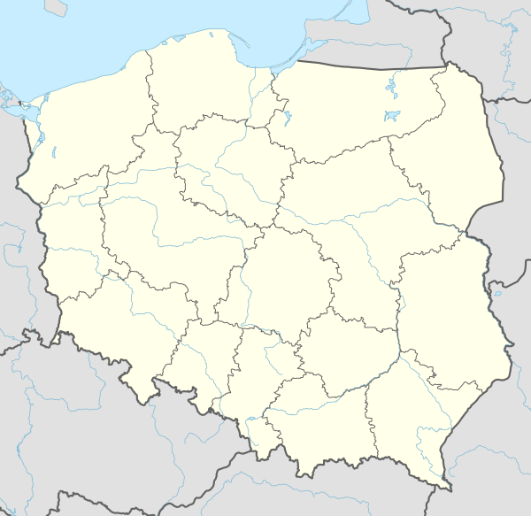
Pabianice [pabʲaˈɲit͡sɛ] is a town in central Poland with 64,757 inhabitants (2019).[1] Situated in the Łódź Voivodeship, it is the capital of Pabianice County. It lies about 10 kilometres (6 miles) southwest of Łódź and belongs to the metropolitan area of that city. It is the third largest city in the Łódź Voivodeship by population. The area of the city covers 32.9 square kilometres (12.7 sq mi) being the 10th largest in Łódź Voivodeship.
Pabianice | |
|---|---|
 Zamkowa Street | |
 Flag  Coat of arms | |
 Pabianice 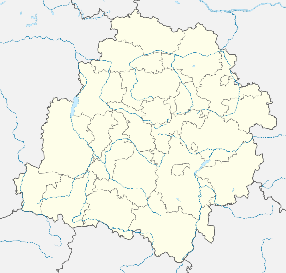 Pabianice | |
| Coordinates: 51°39′N 19°23′E | |
| Country | |
| Voivodeship | |
| County | Pabianice County |
| Gmina | Pabianice (urban gmina) |
| Established | before 10th century |
| Town rights | 1297 |
| Government | |
| • Mayor | Grzegorz Mackiewicz |
| Area | |
| • Total | 32.99 km2 (12.74 sq mi) |
| Highest elevation | 203 m (666 ft) |
| Lowest elevation | 174 m (571 ft) |
| Population (31 December 2019) | |
| • Total | 64,757 |
| Time zone | UTC+1 (CET) |
| • Summer (DST) | UTC+2 (CEST) |
| Postal code | 95–200 |
| Area code(s) | +48 42 |
| Car plates | EPA |
| Website | http://www.um.pabianice.pl |
According to data from 2009[2] Pabianice covers 32.99 km2 (13 sq mi) with following split: agricultural land: 53%, forests: 9%. The city covers 6.70% of Pabianice County.
Neighbour administrative divisions: gmina Dobroń, gmina Ksawerów, miasto Łódź, gmina Pabianice, gmina Rzgów.
Transportation


Pabianice has seen major infrastructural changes over the past few years amidst increased investment and economic growth. The city has a much improved infrastructure with new roads. Pabianice now has a good circular road system. Pabianice bypass (express road S14) opened in May 2012. However, parts of S8 are currently under construction and to be completed within 2012.
Near Pabianice there is an international airport: Łódź Władysław Reymont Airport (IATA: LCJ, ICAO: EPLL) located just 11 kilometres (7 miles) from the city centre.
Public transport in Pabianice includes buses, trams (streetcars), as of 2013 commuter railway Łódzka Kolej Aglomeracyjna [3] and regional rail PKP Przewozy Regionalne. The regional rail and light rail is operated by Polish State Railways (PKP). There are also some suburban bus lines run by private operators. Bus service covers the entire city. Currently, the Miejskie Przedsiębiorstwo Komunikacyjne (City Transport Company) company runs line number 41 which connects Pabianice with Łódź City.
See also
Demography
Before World War II, Pabianice had a substantial Jewish population, comprising about a quarter of all residents of the town. Jews had been living in the town since the 1700s. Under the German occupation, beginning in 1939, nearly the entire Jewish population was murdered. Some were murdered in the town, several thousand were sent to the Chelmno camp where they were immediately gassed, and others were expelled to Lodz and to labor camps in the area. Only about 150 survived of the 9000 Jews thought to be living in Pabianice at the start of the war. For more on the wartime experience see Megargee.[4]
More recently, the population of Pabianice has been steadily decreasing. Between 2002 and 2016 it fell from 72,444 to 66,265 (a decrease of about 400 people every year).[5]

Unemployment
According to source data from 2009[6] average income per capita was on the level of 1844,96 PLN. According to source data from October 2011[7] average unemployment rate in Pabianice is on the level of 15,6%

Architecture


- Church of St. Matthew the Evangelist in Pabianice
- Fortified manor house of Cracovian Chapter
- Weaver houses (Domy tkaczy)
- "Krusche-Ender" cotton factory buildings
- Old offices "Krusche-Ender" with "prządki" sculpture
- Old palace of Enders' family
- Lutheran Church of St. Peter and St. Paul
- Neo-Gothic kościół Najświętszej Marii Panny
- Christian cemeteries
- Railway station
- Jewish Cemetery
- Synagogue (destroyed)
- Renaissance Revival pentecostal chapel near Ludwik Waryński St. (ruins)
- Maria Konopnicka Special Education School Complex
- Pabianicki Harvard Heureka Private Schools
Quarters and administrative subdivisions
Centrum, Bugaj, Piaski, Stare Miasto, Karniszewice, Klimkowizna, Jutrzkowice, Wola Zaradzyńska Nowa, J. Salwy, Marii Konopnickiej, Jana Pawła II, Mikołaja Kopernika, Dąbrowa, Rypułtowice, Czyryczyn (formerly Sereczyn), Karolew, Zatorze.
Notable people
- Rabbi Menachem Mendel Alter - Grand Rabbi of Pabianice (1877 - 1942). Son of Rabbi Yehudah Aryeh Leib Alter and brother of Rabbi Avraham Mordechai Alter. Murdered in Treblinka August 12, 1942.
- Paweł Janas (born 1953), football player and coach
- Marcin Komorowski (born 1984), football player
- Krystyna Mikołajewska (born 1939), actress
- Józef Pluskowski (1896–1950), Polish poet
Sport
| Club | Sport | Founded | League | Venue | Head Coach |
|---|---|---|---|---|---|
| Language School Pabianice[8] | Basketball | 1946 | First League | MOSiR, ul. Grota-Roweckiego 3, Pabianice | Sylwia Wlaźlak |
| Włókniarz Pabianice | Football | 1946 | Łódzka Klasa Okręgowa | MOSiR, ul. Grota-Roweckiego 3, Pabianice | Jacek Włodarczewski |
| PTC Pabianice | Football | 1906 | Łódzka Klasa Okręgowa | Stadium, ul. Stefanii Sempołowskiej 6, Pabianice | Jan Rykała |
International relations
References
- "Local Data Bank". Statistics Poland. Retrieved 4 July 2020. Data for territorial unit 1008021.
- "Powierzchnia i ludność w przekroju terytorialnym w 2010 r". www.stat.gov.pl (in Polish). Główny Urząd Statystyczny. Archived from the original on 2013-12-20. Retrieved 2010-08-20.
- pl:Łódzka Kolej Aglomeracyjna
- Megargee, Geoffrey (2012). Encyclopedia of Camps and Ghettos. Bloomington, Indiana: University of Indiana Press. p. Volume II, 88-89. ISBN 978-0-253-35599-7.
- Central Statistical Office (Poland): Demographics Database. (data for 2012-present)
- "Główny Urząd Statystyczny". www.stat.gov.pl (in Polish). Retrieved 2011-12-20.
- "Wojewódzki Urząd Pracy". wup.lodz.pl (in Polish). Retrieved 2012-01-04.
- "PTK Pabianice". www.ptk.pabianice.com.pl (in Polish). Retrieved 5 November 2008.
- "Miasta partnerskie Pabianic". um.pabianice.pl (in Polish). Biuro Promocji Miasta. 4 May 2005. Archived from the original on 26 April 2012. Retrieved 29 August 2008.
| Wikimedia Commons has media related to Pabianice. |
| Urban gminas |
|  |
|---|---|---|
| Rural gminas | ||
| Seat (not part of the gmina) |  | |
|---|---|---|
| Villages | ||
| Authority control |
|---|