Ozark Mountain State Park
Ozark Mountain State Park is an undeveloped public recreation area covering 1,011 acres (409 ha) in Taney County, Missouri. The state park is closed pending public input on future uses of the land.[2][3] It was one of three new parks announced by Governor Jay Nixon in December 2016.[4] It shares a border with the Ruth and Paul Henning Conservation Area and is traversed by more than two miles of Roark Creek, including a stretch of the three-mile-long East Fork Roark Creek.[5] The site includes a one-room schoolhouse that served the former community of Garber.[6]
| Ozark Mountain State Park | |
|---|---|
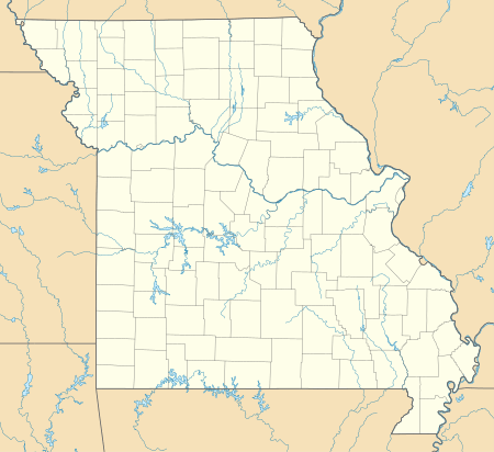 Location in Missouri  Ozark Mountain State Park (the United States) | |
| Location | Taney, Missouri, United States |
| Coordinates | 36°41′30″N 93°18′07″W[1] |
| Area | 1,011 acres (4.09 km2) |
| Elevation | 853 ft (260 m)[1] |
| Established | 2016 |
| Governing body | Missouri Department of Natural Resources |
| Website | Ozark Mountain State Park |
References
- "East Fork Roark Creek". Geographic Names Information System. United States Geological Survey.
- "Ozark Mountain State Park". Missouri State Parks. Missouri Department of Natural Resources. Retrieved April 16, 2018.
- "Park supporters offer ideas for closed Ozark Mountain State Park". Springfield News-Leader. December 5, 2017. Retrieved April 16, 2018.
- "Missouri is adding three new state parks" (Press release). December 16, 2016. Retrieved April 16, 2018.
- "Ozark Mountain: Fact Sheet" (PDF). Missouri State Parks. Missouri Department of Natural Resources. Retrieved April 16, 2018.
- "Ozark Mountain: Features" (PDF). Missouri State Parks. Missouri Department of Natural Resources. Retrieved April 16, 2018.
External links
- Ozark Mountain State Park Missouri Department of Natural Resources
- Ozark Mountain State Park Map Missouri Department of Natural Resources
This article is issued from Wikipedia. The text is licensed under Creative Commons - Attribution - Sharealike. Additional terms may apply for the media files.