Oyrareingir
Oyrareingir is a village on the Faroese island Streymoy in Tórshavn Municipality.
Oyrareingir | |
|---|---|
Village | |
 The villages Signabøur (right) and Kollafjørður (centre) on the shores of the Kollafjørður-fjord. The separate houses in the left and right foreground that do not lie within these villages form the tiny hamlet of Oyrareingir. The meandering river is the Dalá river. | |
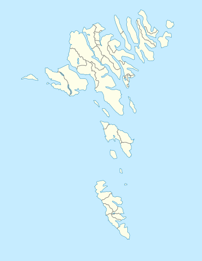 Oyrareingir Location in the Faroe Islands | |
| Coordinates: 62°6′19″N 6°57′41″W | |
| State | |
| Constituent country | |
| Island | Streymoy |
| Municipality | Tórshavn Municipality |
| Population (1 January 2006) | |
| • Total | 45 |
| Time zone | GMT |
| • Summer (DST) | UTC+1 (EST) |
| Postal code | FO 415 |
| Climate | ET |
It is situated at the very head of the Kollafjørður-fjord, on either side of the mouth of the Dalá river. The 2005 population was 44. Its postal code is FO 415. This hamlet is so tiny and its few houses so dispersed among the 'outskirts' of the neighbouring villages of Signabøur and Kollafjørður that few maps mention it. Even the Faroe Islands' best online atlas doesn't.[1] The Faroe Islands' main road (No. 10) from Tórshavn to Klaksvík passes right through Oyrareingir. The only other road -a small one leading to some farms- is called á Oyrareingjum.
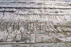
Farm at the foot of a hillside in Oyrareingir.
See also
- List of towns in the Faroe Islands
References
- "Kortal.fo - Finst tað í Føroyum, so finst tað á Kortalinum". kortal.fo. Retrieved 2014-08-23.
This article is issued from Wikipedia. The text is licensed under Creative Commons - Attribution - Sharealike. Additional terms may apply for the media files.