Ostrogozhsk
Ostrogozhsk (Russian: Острого́жск; ; Ukrainian: Острогозьк, romanized: Ostrohozk)) is a town and the administrative center of Ostrogozhsky District in Voronezh Oblast, Russia, located on the Tikhaya Sosna River (a Don's tributary), 142 kilometers (88 mi) south of Voronezh, the administrative center of the oblast. As of the 2010 Census, its population was 33,842.[2]
Ostrogozhsk Острогожск | |
|---|---|
Town[1] | |
 Zybcev village in the town of Ostrogozhsk | |
.png) Flag .png) Coat of arms | |
Location of Ostrogozhsk 
| |
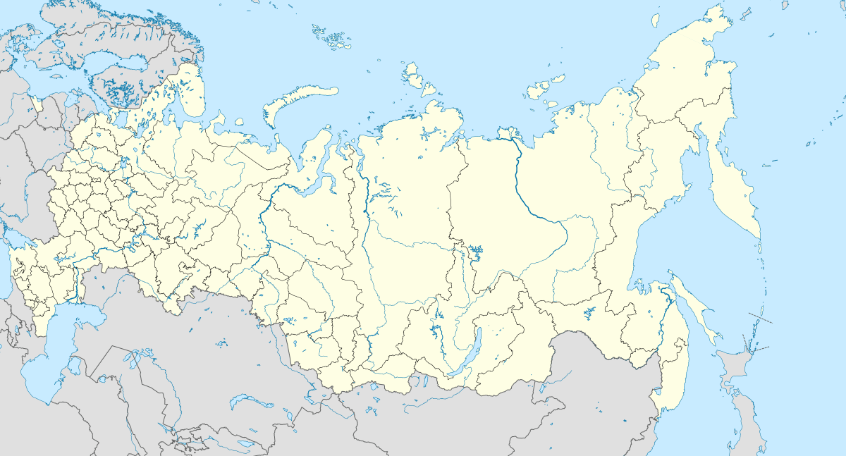 Ostrogozhsk Location of Ostrogozhsk .svg.png) Ostrogozhsk Ostrogozhsk (Voronezh Oblast) | |
| Coordinates: 50°52′N 39°04′E | |
| Country | Russia |
| Federal subject | Voronezh Oblast[1] |
| Administrative district | Ostrogozhsky District[1] |
| Urban settlement | Ostrogozhsk[1] |
| Founded | 1652 |
| Town status since | 1765 |
| Elevation | 110 m (360 ft) |
| Population | |
| • Total | 33,842 |
| • Estimate (2018)[3] | 32,601 (-3.7%) |
| • Capital of | Ostrogozhsky District[1], Ostrogozhsk Urban Settlement[1] |
| • Municipal district | Ostrogozhsky Municipal District[4] |
| • Urban settlement | Ostrogozhsk Urban Settlement[4] |
| • Capital of | Ostrogozhsky Municipal District[4], Ostrogozhsk Urban Settlement[4] |
| Time zone | UTC+3 (MSK |
| Postal code(s)[6] | 397850, 397852–397855 |
| Dialing code(s) | +7 47375 |
| OKTMO ID | 20631101001 |
| 2010 Census | 33,842[2] |
|---|---|
| 2002 Census | 34,585[7] |
| 1989 Census | 34,492[8] |
| 1979 Census | 34,044[9] |
History
Ostogozhsk is a historical center of Eastern Sloboda Ukraine. It was founded in 1652 by Ukrainian Cossacks as Ostrogozhsk or Ostrohozk[10] (little fortress) and its construction was approved by Russian voyevoda Fyodor Arsenyev[11]. Ivan Dzinkovsky brought along some 2,000 resettlers from Chernihiv and Nizhyn Regiments around an ostrog (fortress) of the Belgorod Defensive Line of Russia. Due to the nature of its foundation, the towns population was historically majority Ukrainian Cossack. The largest of Sloboda Cossack regiments was the Ostrogozhsk Regiment, with 1000 registered Cossacks. In order to coordinate the defense of these territories with the Russian garrison forces and the districts of the Belgorod Defensive Line the Cossack regiments were placed under the military command authority of the Belgorod Army Group.[12]
During the time of Stepan Razin's revolt against Aleksey Mikhailovich of Russia the city was under control of rebellious Cossacks.[13]
In 1696 Peter the Great stopped at Ostrogozhsk to meet with the Hetman of Zaporizhian Host Ivan Mazepa and Cossacks of Ostrogozhsk regiment.[14] At the Ostrogozhsk city square is located a memorial commemorating the event.[15][16]
In 1708 Ostogozhsk was incorporated into the Azov Governorate.
In 1724 the Russians that were living in Ostrogozhsk, who were referred to as "people of posad" by the local inhabitants moved to Korotoyak and the Ukrainian Cossacks that lived in Korotoyak moved to Ostrogozhsk.[17]
The town served as the headquarters of a Sloboda Ukrainian Cossack territorial and military regiment until the 1760s when it was abolished by Catherine II.[18] In 1765 the city Ostrogozhsk was incorporated into newly established the Sloboda Ukraine Governorate.[19] In 1802 the city of Ostrogozhsk ended up in the new Voronezh Governorate[19] and same year it was granted the town rights. Since then the city became a center of the split East Sloboda Ukraine.
According to the 1897 Russian census there were 51,4 % of Little Russians (Ukrainians) in the town of Ostogozhsk and 46,8 % of Great Russians (Russians).[20]The inhabitants of the town continued to preserve their Ukrainian customs and Cossack traditions well into the twentieth century and their remains a district of the town named 'majdan'.[21]
In 1918 the town was controlled by Ukrainian People's Republic and the Ukrainian Hetmanate.[15] From 1919 the town was controlled by Anton Denikin's White Armee of South Russia. In 1920, Ostrogozhsk became a part of Soviet Russia, while borders between the Soviet Russia and the Soviet Ukraine were not finalized until 1925.[15] According to the census of 1926, ethnic Ukrainians accounted for 74.1 percent of the town's and 69.6 percent of the county's inhabitants.[22] In 1928 Ostrogozhsk became a district's administrative center within what now is Voronezh Oblast. The town was occupied by Nazi Germany during World War II from July 5, 1942 (during the Battle of Voronezh) to January 20, 1943, when it was liberated in the course of the Ostrogozhsk–Rossosh Offensive.
Administrative and municipal status
Within the framework of administrative divisions, Ostrogozhsk serves as the administrative center of Ostrogozhsky District.[1] As an administrative division, it is, together with six rural localities in Ostrogozhsky District, incorporated within Ostrogozhsky District as Ostrogozhsk Urban Settlement.[1] As a municipal division, this administrative unit also has urban settlement status and is a part of Ostrogozhsky Municipal District.[4]
Notable people
- Alexander Iovsky (1796—1857), Russian chemist and pharmacist
- Ivan Kramskoi (1837—1887), Russian painter
- Lev Solovyev (1837—1919), Russian painter
- Elisabeth Milicyna (1869—1930), Russian writer
- Eduard Steinberg (1882—1935), Russian painter
- Pavel Fedoseenko (1898—1934), Soviet aeronaut
- Olga Vasilyeva, Soviet Russian sniper
- Veniamin Gaydukov, Soviet Russian lieutenant-general
References
Notes
- Law #87-OZ
- Russian Federal State Statistics Service (2011). "Всероссийская перепись населения 2010 года. Том 1" [2010 All-Russian Population Census, vol. 1]. Всероссийская перепись населения 2010 года [2010 All-Russia Population Census] (in Russian). Federal State Statistics Service.
- "26. Численность постоянного населения Российской Федерации по муниципальным образованиям на 1 января 2018 года". Federal State Statistics Service. Retrieved January 23, 2019.
- Law #88-OZ
- "Об исчислении времени". Официальный интернет-портал правовой информации (in Russian). June 3, 2011. Retrieved January 19, 2019.
- Почта России. Информационно-вычислительный центр ОАСУ РПО. (Russian Post). Поиск объектов почтовой связи (Postal Objects Search) (in Russian)
- Russian Federal State Statistics Service (May 21, 2004). "Численность населения России, субъектов Российской Федерации в составе федеральных округов, районов, городских поселений, сельских населённых пунктов – районных центров и сельских населённых пунктов с населением 3 тысячи и более человек" [Population of Russia, Its Federal Districts, Federal Subjects, Districts, Urban Localities, Rural Localities—Administrative Centers, and Rural Localities with Population of Over 3,000] (XLS). Всероссийская перепись населения 2002 года [All-Russia Population Census of 2002] (in Russian).
- "Всесоюзная перепись населения 1989 г. Численность наличного населения союзных и автономных республик, автономных областей и округов, краёв, областей, районов, городских поселений и сёл-райцентров" [All Union Population Census of 1989: Present Population of Union and Autonomous Republics, Autonomous Oblasts and Okrugs, Krais, Oblasts, Districts, Urban Settlements, and Villages Serving as District Administrative Centers]. Всесоюзная перепись населения 1989 года [All-Union Population Census of 1989] (in Russian). Институт демографии Национального исследовательского университета: Высшая школа экономики [Institute of Demography at the National Research University: Higher School of Economics]. 1989 – via Demoscope Weekly.
- "Всесоюзная перепись населения 1979 г. Национальный состав населения по регионам России" [All Union Population Census of 1979. Ethnic composition of the population by regions of Russia] (XLS). Всесоюзная перепись населения 1979 года [All-Union Population Census of 1979] (in Russian). 1979 – via Demoscope Weekly (website of the Institute of Demographics of the State University—Higher School of Economics.
- Plokhy, Serhii, 1957-. The Cossack myth : history and nationhood in the age of empires. ISBN 1-107-44903-0. OCLC 1041371688.CS1 maint: multiple names: authors list (link)
- The Russo-Turkish War, 1768–1774 : Catherine II and the Ottoman Empire. Bloomsbury Academic. 2016. doi:10.5040/9781474211147. ISBN 978-1-4725-1293-2.
- Davis B. The Russo-Turkish War, 1768-1774: Catherine II and the Ottoman Empire. London 2016. P. 75.
- Kollmann, Nancy: Crime and Punishment in Early Modern Russia. Cambridge 2012. P. 377.
- "ostrogozhsk"&hl=de&sa=X&ved=0ahUKEwiQwOSzwr_oAhUZ5KYKHe3KA1EQ6AEIRDAD#v=onepage&q="ostrogozhsk"&f=false Plokhy S. The Cossack Myth: History and Nationhood in the Age of Empires. Cambridge 2012. P. 21.
- Leonov, I. Ukrainian Don Region. "Ukrayina Moloda".
- photo
- "ОСТРОГОЗЬК". resource.history.org.ua. Retrieved March 13, 2020.
- Plokhy, Serhii, 1957-. The Cossack myth : history and nationhood in the age of empires. ISBN 1-107-44903-0. OCLC 1041371688.CS1 maint: multiple names: authors list (link)
- Smoliy, V.A. Ivan Dzykovskyi (ДЗИКОВСЬКИЙ ІВАН). Encyclopedia of History of Ukraine.
- Демоскоп. Перепись населения 1897 г.
- "Україна Молода :.: Видання | Українське Подоння". January 12, 2016. Archived from the original on January 12, 2016. Retrieved June 1, 2020.
- "Ostrohozke". www.encyclopediaofukraine.com. Retrieved March 31, 2020.
Sources
- Воронежская областная Дума. Закон №87-ОЗ от 27 октября 2006 г. «Об административно-территориальном устройстве Воронежской области и порядке его изменения», в ред. Закона №41-ОЗ от 13 апреля 2015 г. «О внесении изменений в Закон Воронежской области "Об административно-территориальном устройстве Воронежской области и порядке его изменения"». Вступил в силу по истечении 10 дней со дня официального опубликования. Опубликован: "Молодой коммунар", №123, 3 ноября 2006 г. (Voronezh Oblast Duma. Law #87-OZ of October 27, 2006 On the Administrative-Territorial Structure of Voronezh Oblast and on the Procedures of Changing It, as amended by the Law #41-OZ of April 13, 2015 On Amending the Law of Voronezh Oblast "On the Administrative-Territorial Structure of Voronezh Oblast and on the Procedures of Changing It". Effective as of after 10 days from the day of the official publication.).
- Воронежская областная Дума. Закон №88-ОЗ от 2 декабря 2004 г. «Об установлении границ, наделении соответствующим статусом, определении административных центров муниципальных образований Грибановского, Каширского, Острогожского, Семилукского, Таловского, Хохольского районов и города Нововоронеж», в ред. Закона №77-ОЗ от 4 июня 2015 г. «О внесении изменений в отдельные законодательные акты Воронежской области в связи с изменением границ некоторых муниципальных образований Воронежской области». Вступил в силу со дня официального опубликования. Опубликован: "Коммуна", №189, 4 декабря 2004 г. (Voronezh Oblast Duma. Law #88-OZ of December 2, 2004 On Establishing the Borders, Granting Appropriate Status, Establishing the Administrative Centers of the Municipal Formations of Gribanovsky, Kashirsky, Ostrogozhsky, Semiluksky, Talovsky, Khokholsky Districts and the Town of Novovoronezh, as amended by the Law #77-OZ of June 4, 2015 On Amending Various Legislative Acts of Voronezh Oblast Due to Changing the Borders of Several Municipal Formations in Voronezh Oblast. Effective as of the official publication date.).
External links
- Unofficial website of Ostrogozhsk (in Russian)
- History of Ostrogozhsk (in Russian)
- History of Ostrogozhsk in the 19th–20th centuries (in Russian)