Ortonville, California
Ortonville is an unincorporated community of Ventura County, California, United States. Ortonville is located along California State Route 33 4.8 miles (7.7 km) northwest of Ventura. Ortonville lies north of the unincorporated community Wadstrom and south of the unincorporated community Weldons. All three were served by the 20th century Ventura and Ojai Valley Railroad.[2]
Ortonville, California | |
|---|---|
 Ortonville, California | |
| Coordinates: 34°19′17″N 119°17′29″W | |
| Country | United States |
| State | California |
| County | Ventura |
| Elevation | 148 ft (45 m) |
| Time zone | UTC-8 (Pacific (PST)) |
| • Summer (DST) | UTC-7 (PDT) |
| Area code(s) | 805 |
| GNIS feature ID | 1661160[1] |
Two mobile home parks are just north of the site of this historical Place name; Canon De Las Encinas Park and Magnolia Park.
References
- "Ortonville". Geographic Names Information System. United States Geological Survey.
- Oliver, Robert. "The Ojai Branch". Abandoned Rails. Retrieved 25 January 2019.
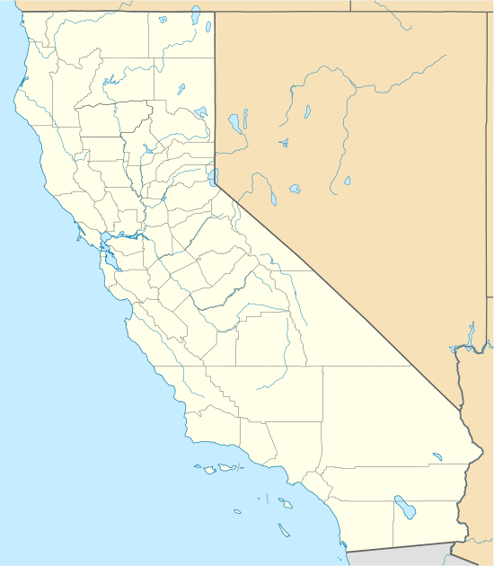
Municipalities and communities of Ventura County, California, United States | ||
|---|---|---|
| Cities | 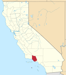 Ventura County map | |
| CDPs | ||
| Unincorporated communities | ||
| Footnotes | ‡This populated place also has portions in an adjacent county or counties | |
This article is issued from Wikipedia. The text is licensed under Creative Commons - Attribution - Sharealike. Additional terms may apply for the media files.