Nea Figaleia
Nea Figaleia (Greek: Νέα Φιγαλεία, before 1927: Zουρτσα - Zourtsa[2]) is an historical town in Elis, that since the 2011 local government reform is a part of the municipality of Zacharo, Elis, Peloponnese, Greece. The town was the seat of Figalia's Municipality until 2011 (Kapodistrias reform). Its average altitude is 480 meters above sea level. It has many churches, among which the predominantly old stone church St. Nicholas. The folklore museum and the community clinic are located along the main road. The main landscape is formed of olive trees and cypresses with a panoramic view towards the Ionian Sea.
Nea Figaleia Νέα Φιγαλεία | |
|---|---|
 Nea Figaleia | |
| Coordinates: 37°25′N 21°46′E | |
| Country | Greece |
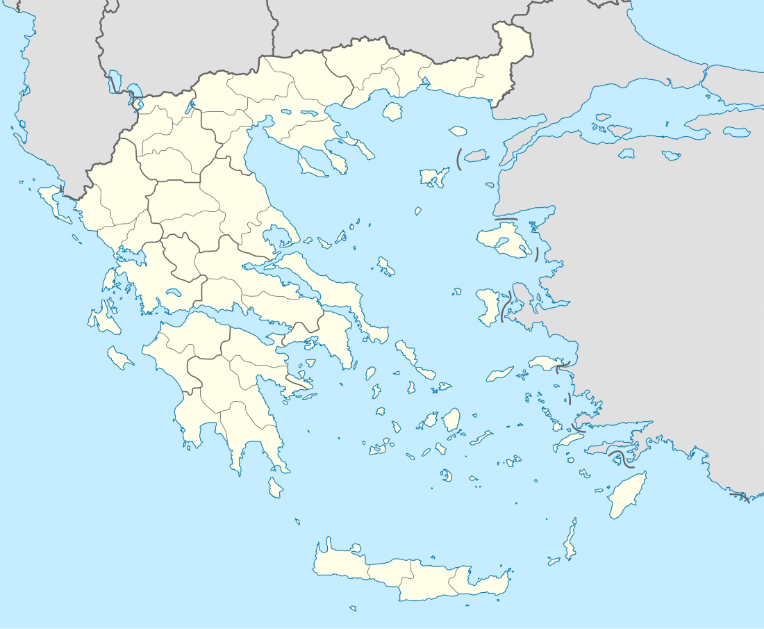
| Administrative region | West Greece |
| Regional unit | Elis |
| Municipality | Zacharo |
| Municipal unit | Figaleia |
| Elevation | 480 m (1,570 ft) |
| Highest elevation | 530 m (1,740 ft) |
| Lowest elevation | 430 m (1,410 ft) |
| Community | |
| • Population | 1,033 (2011) |
| Time zone | UTC+2 (EET) |
| • Summer (DST) | UTC+3 (EEST) |
| Postal code | 27056 |
| Area code(s) | +30 26250 |
History
Zourtsa's settlement probably dates back to the 12th century A.D.. Important document for the Zourtsa's history is the golden seal of Mystras, signed in 1321 by Andronikos II Palaiologos. Zourtsa undertaking a significant role during the Independence War of 1821. It was mentioned by the Turkish traveler Evliya Çelebi who visited the area between 1668 and 1671. He described it as a famous resort, full of springs, vineyards, gardens and 150 stone-built houses. The town was renamed Kato Figalia in 1927, and Nea Figaleia in 1976.[2]
Population
| Year | Town | Community | Municipal unit of Figalia |
|---|---|---|---|
| 1951 | 1,925 | 2,082 | - |
| 1961 | 1,669 | 2,004 | - |
| 1971 | 1,645 | 1,965 | - |
| 1981 | 1,318 | 1,614 | - |
| 1991 | 1,329 | 1,689 | - |
| 2001 | 1,279 | 1,624 | 2,499 |
| 2011 | 785 | 1,033 | 1,392 |
See also
External links
References
- "Απογραφή Πληθυσμού - Κατοικιών 2011. ΜΟΝΙΜΟΣ Πληθυσμός" (in Greek). Hellenic Statistical Authority.
- "EETAA local government changes". Retrieved 26 June 2020.