National parks of Georgia (country)
Georgia has a long history of establishing Protected Areas dating back to 1912 when the Lagodekhi Strict Nature Reserve was created. Nowadays, protected areas make up to 7% of the country's territory (384 684 ha) and about 75% of protected areas are covered by forests.[1] Total number of protected areas in Georgia — 89. In Georgia there are 14 Strict Nature Reserves, 12 National Parks, 20 Managed Nature Reserves, 40 Natural Monuments, 2 Ramsar sites and 1 Protected Landscape.[1] Management and coordination of the Protected Areas is implemented by a Legal Entity of Public Law Protected Areas Agency of the Ministry of Environment Protection and Natural Resources of Georgia.[2] Currently under development:
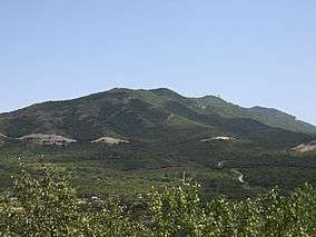
- Trialeti Planned National Park[3]
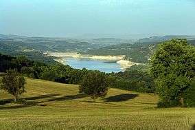
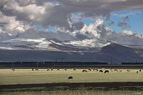
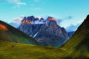
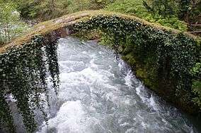
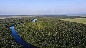
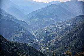
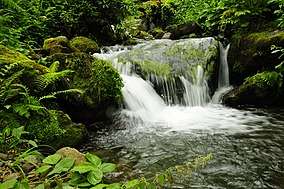
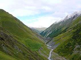
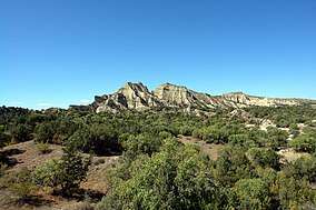
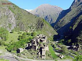
National parks

See also
- Environmental issues in Georgia
- List of protected areas of Georgia
References
| Wikimedia Commons has media related to National parks of Georgia. |
- Georgia, Europe. UNEP-WCMC (2018). Protected Area Profile for Georgia from the World Database of Protected Areas, November 2018. Protected Planet
- Elizbarashvili, Nodar; Kupatadze, Bondo (2011). 100 sights of Georgia. Tbilisi: Publishing house Clio. ISBN 978-9941-415-33-3.
- 41°45′28.786″N 44°16′9.131″E Trialeti Planned National Park near Inner Kartli, Kaspi Municipality in Shida Kartli region.

This article is issued from Wikipedia. The text is licensed under Creative Commons - Attribution - Sharealike. Additional terms may apply for the media files.