Nagyveleg
Nagyveleg | |
|---|---|
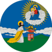
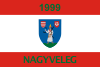 Flag  Coat of arms | |
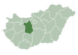
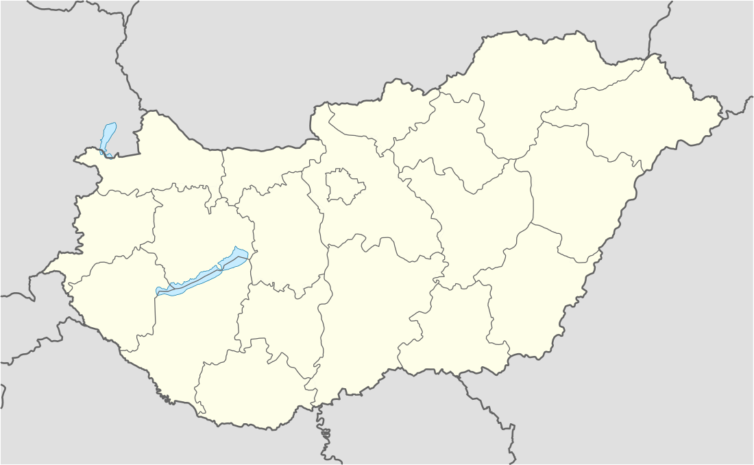 Nagyveleg Location of Nagyveleg | |
| Coordinates: 47.36053°N 18.10936°E | |
| Country | |
| County | Fejér |
| Area | |
| • Total | 13.18 km2 (5.09 sq mi) |
| Population (2001) | |
| • Total | 720 |
| • Density | 54.63/km2 (141.5/sq mi) |
| Time zone | UTC+1 (CET) |
| • Summer (DST) | UTC+2 (CEST) |
| Postal code | 8065 |
| Area code(s) | 22 |
| Website | www |
Nagyveleg is a village in Fejér county, Hungary.
Location
Nagyveleg is 35 km (22 mi) north-west from Székesfehérvár, between the Vértes and Bakony mountains.
History
Nagyveleg was first mentioned in a document in 1230. During the Ottoman wars the village was destroyed and in 1746 re-founded.
External links
- Nagyveleg Önkormányzati portál
- Nagyvelegi képek, hírek
- Nagyveleg a facebookon
- Nemzeti jelképek
- Street map (in Hungarian)
| Cities with county rights |
|   |
|---|---|---|
| Towns | ||
| Large villages | ||
| Villages |
| |
| Other topics |
| |
This article is issued from Wikipedia. The text is licensed under Creative Commons - Attribution - Sharealike. Additional terms may apply for the media files.