Nadawah, Alabama
Nadawah is a ghost town in Monroe County, Alabama.
Nadawah, Alabama | |
|---|---|
Ghost town | |
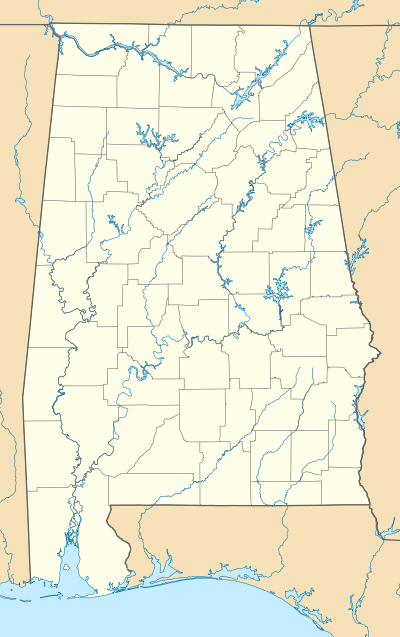 Nadawah, Alabama Location within the state of Alabama | |
| Coordinates: 31.81431°N 87.17220°W | |
| Country | United States |
| State | Alabama |
| County | Monroe |
| Elevation | 194 ft (59 m) |
| Time zone | UTC-6 (Central (CST)) |
| • Summer (DST) | UTC-5 (CDT) |
| ZIP code | 36768 |
| Area code(s) | 251 |
History
Nadawah was named for the Nadawah Lumber Company.[1] The Nadawah Lumber Company operated 15 miles of standard-gauge railway from 1912 to 1928.[2] Nadawah was formerly a sawmill town in the early 20th century, located about a mile south of Wilcox County and seven miles from Beatrice. The town was near the head of Flat Creek, along the Louisville & Nashville Railroad (L&N). Besides the sawmill, it had a post office, school, hotel and stores.[3] A post office operated under the name Nadawah from 1900 to 1967.[4] Little exists of the community today.
Demographics
| Historical population | |||
|---|---|---|---|
| Census | Pop. | %± | |
| 1920 | 373 | — | |
| 1930 | 93 | −75.1% | |
| U.S. Decennial Census[5] | |||
Nadawah appeared on the U.S. Censuses of 1920 and 1930 as an incorporated community. It disincorporated at some point in the 1930s.
Geography
Nadawah is located at 31.8143197°N 87.1722083°W and has an elevation of 194 feet (59 m).[6]
References
- Foscue, Virginia (1989). Place Names in Alabama. Tuscaloosa: The University of Alabama Press. p. 99. ISBN 0-8173-0410-X.
- "Alabama Logging Railroads". W. George Cook. Retrieved 30 October 2019.
- http://freepages.history.rootsweb.ancestry.com/~gtusa/usa/al.htm
- "Monroe County". Jim Forte Postal History. Retrieved 30 October 2019.
- "U.S. Decennial Census". Census.gov. Retrieved June 6, 2013.
- http://geonames.usgs.gov/apex/f?p=136:3:0::NO:3:P3_FID,P3_TITLE:156764,Nadawah
Municipalities and communities of Monroe County, Alabama, United States | ||
|---|---|---|
| City | 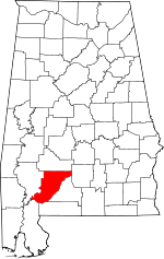 Map of Alabama highlighting Monroe County | |
| Towns | ||
| CDPs | ||
| Unincorporated communities | ||
| Ghost town | ||
| Indian reservation | ||
| Footnotes | ‡This populated place also has portions in an adjacent county or counties | |