Mud Islands Game Reserve
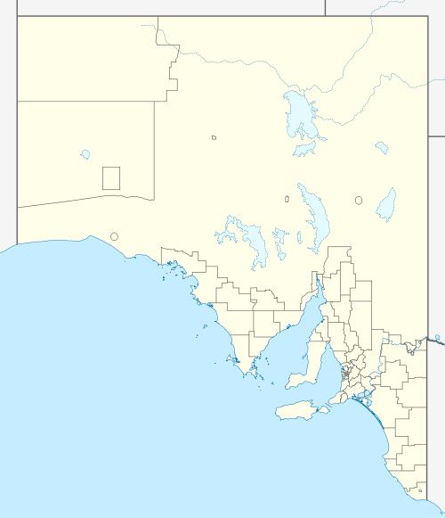
Mud Islands Game Reserve is a protected area in South Australia covering ten islands at the southern side of Lake Alexandrina about 19 kilometres (12 miles) south-east of Goolwa. The game reserve is described as providing ‘an ideal habitat for water birds, particularly waterfowl’ and that ‘duck shooting is permitted during open season.’ [4][5][6] Since 2000, the game reserve has been located within the boundaries of the gazetted locality, Coorong.[7]
| Mud Islands Game Reserve South Australia | |
|---|---|
IUCN category VI (protected area with sustainable use of natural resources)[1] | |
 Mud Islands Game Reserve | |
| Nearest town or city | Goolwa |
| Coordinates | 35°33′52″S 139°0′4″E |
| Established | 21 November 1968[2] |
| Area | 1.25 km2 (0.5 sq mi)[3] |
| Managing authorities | Department for Environment and Water |
| See also | Protected areas of South Australia |
The game reserve is classified as an IUCN Category VI protected area.[1] In 1980, it was listed on the now-defunct Register of the National Estate.[5]
References
- "Terrestrial Protected Areas of South Australia (refer 'DETAIL' tab )". CAPAD 2016. Australian Government, Department of the Environment (DoE). 2016. Retrieved 21 February 2018.
- DeGaris, R,F. (21 November 1968). "CROWN LANDS ACT, 1929-1967: HUNDRED OF BAKER —FAUNA CONSERVATION RESERVES DEDICATED" (PDF). The South Australian Government Gazette. Government of South Australia. p. 2212. Retrieved 10 January 2019.
- "Protected Areas Information System - reserve list (as of 25 November 2014)" (PDF). Department of Environment Water and Natural Resources. Retrieved 8 January 2015.
- "Mud Islands Game Reserve". Gazetteer of Australia online. Geoscience Australia, Australian Government.
- "Mud Islands Game Reserve, Lake Alexandrina via Goolwa, SA, Australia - listing on the now-defunct Register of the National Estate (Place ID 7911)". Australian Heritage Database. Department of the Environment. 21 October 1980.
- Boating Industry Association of South Australia (BIA); South Australia. Department for Environment and Heritage (2005), South Australia's waters an atlas & guide, Boating Industry Association of South Australia, pp. 4, 11 & 18, ISBN 978-1-86254-680-6
- "Search result for "COORONG (LOCB)" (Record no SA0049955) with the following layers selected - "Suburbs and Localities" and "Local Government Areas"". Department of Planning, Transport and Infrastructure. Archived from the original on 12 October 2016. Retrieved 29 March 2016.
This article is issued from Wikipedia. The text is licensed under Creative Commons - Attribution - Sharealike. Additional terms may apply for the media files.