Minamiuonuma
Minamiuonuma (南魚沼市, Minamiuonuma-shi) is a city located in Niigata Prefecture, Japan. As of 1 July 2019, the city had an estimated population of 56,179 in 20,020 households,[1] and a population density of 96.1 persons per km². The total area of the city was 584.55 square kilometres (225.70 sq mi).
Minamiuonuma 南魚沼市 | |
|---|---|
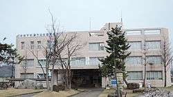 Minamiuonuma City Hall | |
 Flag  Seal | |
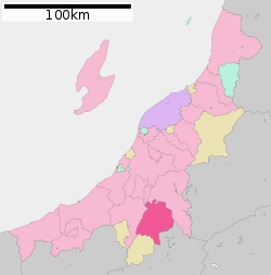 Location of Minamiuonuma in Niigata | |
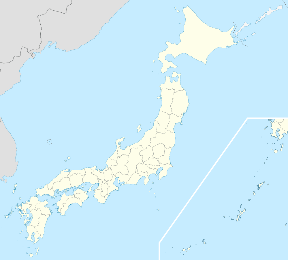 Minamiuonuma | |
| Coordinates: 37°3′55.9″N 138°52′33.9″E | |
| Country | Japan |
| Region | Chūbu (Kōshin'etsu) (Hokuriku) |
| Prefecture | NIigata |
| Area | |
| • Total | 584.55 km2 (225.70 sq mi) |
| Population (July 1, 2019) | |
| • Total | 56,179 |
| • Density | 96/km2 (250/sq mi) |
| Time zone | UTC+9 (Japan Standard Time) |
| Symbols | |
| • Tree | Kobushi magnolia |
| • Flower | Erythronium japonicum |
| Phone number | 0250-62-2510 |
| Address | 180-1 Muika-machi, Minamiuonuma-shi, Niigata-ken 949-6696 |
| Website | Official website |
Geography
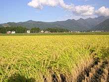
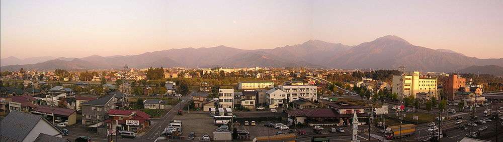
Minamiuonuma is situated in a valley in a mountainous region of Niigata Prefecture known as “Snow Country” because of the heavy snowfall in winter. The city is bounded by Uonuma and the Echigo-Sanzan mountains in the north, and Yuzawa, a popular ski resort town, in the south. The Uono River flows through most of the city. The city and its surrounding areas are dotted with many onsen (hot springs) and ski resorts, making it a popular destination in winter. There are also a large number of paddy fields, and popular seasonal fruit like watermelon, as this is part of the major koshihikari rice-growing region in Japan. Parts of the city are within the borders of the Jōshin'etsu-kōgen National Park.
Surrounding municipalities
- Niigata Prefecture
- Uonuma
- Tōkamachi
- Yuzawa
- Gunma Prefecture
Climate
Minamiuonuma has a Humid climate (Köppen Cfa) characterized by warm, wet summers and cold winters with heavy snowfall. The average annual temperature in Minamiuonuma is 11.3 °C. The average annual rainfall is 1865 mm with September as the wettest month. The temperatures are highest on average in August, at around 24.3 °C, and lowest in January, at around -1.1 °C.[2]
Demographics
Per Japanese census data,[3] the population of Minamiuonuma peaked at around the year 1990 and has declined steadily since.
| Census Year | Population |
|---|---|
| 1970 | 61,995 |
| 1980 | 62,830 |
| 1990 | 65,566 |
| 2000 | 65,492 |
| 2010 | 61,624 |
History
The area of present-day Minamiuonuma was part of ancient Echigo Province. The modern city of Minamiuonuma was established on November 1, 2004, from the merger of the towns Muikamachi and Yamato (both from Minamiuonuma District). On October 1, 2005, the town of Shiozawa (from Minamiuonuma District) was also merged into Minamiuonuma.
Government
Minamiuonuma has a mayor-council form of government with a directly elected mayor and a unicameral city legislature of 22 members.
Economy
The economy of Minamiuonuma is based primarily on agriculture and seasonal tourism.
Education
Minamiuonuma has 19 public elementary schools and six public middle schools operated by the city government. There are four public high schools operated by the Niigata Prefectural Board of Education, and the prefecture also operate one special education school. The International University of Japan is based at Minamiuonuma.
Transportation
Railway
.svg.png)

Highway
.png)


Twin towns – sister cities
Minamiuonuma is twinned with:[4]

Local attractions
- Sakado Castle ruins, a National Historic Site
References
- Minamiuonuma city official statistics (in Japanese)
- Minamiuonuma climate data
- Minamiuonuma population statistics
- "姉妹都市交流" (in Japanese). Minamiuonuma. Retrieved 2020-07-10.
External links

- Official Website (in Japanese)
| Niigata |
| |||
|---|---|---|---|---|
| Special cities | ||||
| Cities | ||||
| Districts | ||||
| Authority control |
|
|---|