Milstead, Alabama
Milstead, also known as Cowles or Cowles Station, is an unincorporated community in Macon County, Alabama, United States.
Milstead | |
|---|---|
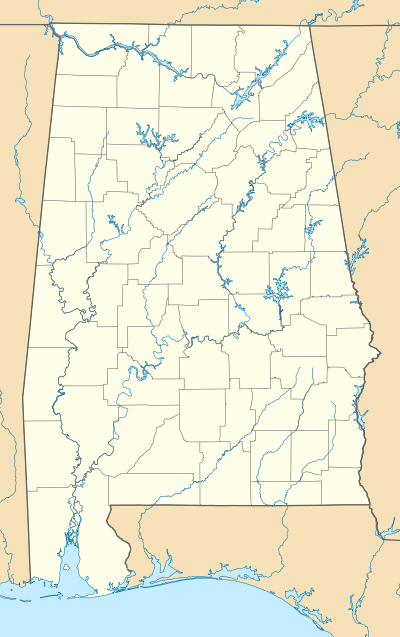 Milstead Location in Alabama. | |
| Coordinates: 32°26′33″N 85°53′51″W | |
| Country | United States |
| State | Alabama |
| County | Macon |
| Elevation | 207 ft (63 m) |
| Time zone | UTC-6 (Central (CST)) |
| • Summer (DST) | UTC-5 (CDT) |
| Area code(s) | 334 |
| GNIS feature ID | 156715[1] |
History
The community was named after the location where a gristmill once stood by the Tallapoosa River.[2] Milstead was located at the junction of the Tallassee and Montgomery Railway and the Western Railway of Alabama.[3]
Fort Decatur, a fort built during the Creek War, was located near Milstead. John Sevier died here while conducting a survey of Creek lands.[4]
A post office operated under the name Cowle's Station from 1867 to 1895, under the name Cowles from 1895 to 1896, and under the name Milstead from 1896 to 1964.[5]
Auburn University maintains the E.V. Smith Research Center in Milstead.[4]
References
- "Milstead". Geographic Names Information System. United States Geological Survey.
- Foscue, Virginia (1989). Place Names in Alabama. Tuscaloosa: The University of Alabama Press. p. 94. ISBN 0-8173-0410-X.
- The American and English railroad cases: a collection of all cases, affecting railroads of every kind, decided by the courts of appellate jurisdiction in the United States, England, and Canada [1894-1913]. E. Thompson Co. 1901. pp. 171.
- Mike Bunn; Clay Williams (1 July 2008). Battle for the Southern Frontier: The Creek War and the War of 1812. Arcadia Publishing Incorporated. p. 59. ISBN 978-1-62584-381-4.
- "Macon County". Jim Forte Postal History. Retrieved 3 April 2020.
Municipalities and communities of Macon County, Alabama, United States | ||
|---|---|---|
| City | 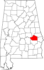 Map of Alabama highlighting Macon County | |
| Towns | ||
| Unincorporated communities | ||
| Footnotes | ‡This populated place also has portions in an adjacent county or counties | |
This article is issued from Wikipedia. The text is licensed under Creative Commons - Attribution - Sharealike. Additional terms may apply for the media files.