Marquette Underwater Preserve
The Marquette Underwater Preserve was established in 1990 to promote conservation of the submerged historical resources in Lake Superior near Marquette, Michigan. The Preserve is composed of two separate units, the Marquette Unit and the Huron Islands Unit. The Marquette Unit extends along approximately 24 miles of Michigan shoreline out to the 200-foot depth contour. The Huron Islands Unit surrounds a group of granite peaks about 12 miles from shore. The Michigan Underwater Preserve Council oversees activities relating to all of Michigan's Underwater Preserves.[2]
| Marquette Underwater Preserve | |
|---|---|
 Location within the state of Michigan | |
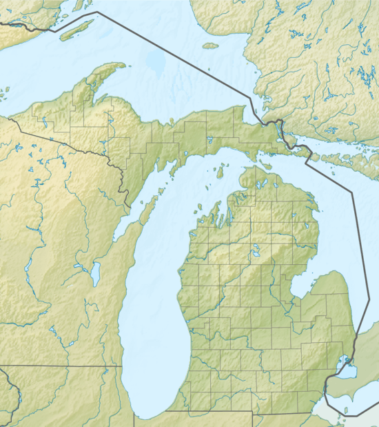
| Location | Lake Superior, Marquette County, Michigan USA |
| Nearest city | Marquette, Michigan |
| Coordinates | 46°47′10″N 87°34′59″W |
| Area | 144 sq mi (370 km2)[1] |
| Governing body | Michigan Department of Natural Resources |
The preserve is open to scuba divers.
History
Marquette, Michigan became a major shipping port after iron ore was discovered in the area in 1844, and marine traffic in the area has been heavy ever since. Heavy traffic combined with not-too-uncommon thick fog and gale force winds has resulted in numerous shipwrecks.
| Site name | Type | Depth (ft) | Depth (m) | Coordinates |
|---|---|---|---|---|
| Charles James Kershaw | Wooden Propeller Steamer | 25 | 7.6 | 46°30.56′N 87°21.81′W |
| D. Leuty | Wooden Propeller Steamer | 40 | 12 | 46°32.76′N 87°22.44′W |
| DeSoto | Wooden Bark | 8–10 | 2.4–3.0 | 46°32.07′N 87°23.55′W |
| F-106B | Fighter Plane wreck debris | 20–22 | 6.1–6.7 | 46°31.71′N 87°23.75′W |
| Florida | Wooden Schooner | 10–15 | 3.0–4.6 | 46°32.11′N 87°23.53′W |
| George Sherman | Wooden Schooner | 10–12 | 3.0–3.7 | 46°29.89′N 87°9.63′W |
| The "Gold Mine" Pinnacle | Pinnacle of granite | 12–150 | 3.7–45.7 | 46°35.38′N 87°21.75′W |
| “Iron Man” & J.H. Sheadle | Shipwreck debris | 15 | 4.6 | 46°34.08′N 87°23.17′W |
| Queen City | Wooden Schooner | 10–13 | 3.0–4.0 | 46°29.42′N 87°18.64′W |
| Superior & Marion L. | Wooden Fishing Tugs | 20 | 6.1 | 46°32.50′N 87°23.35′W |
| Site name | Type | Depth (ft) | Depth (m) | Coordinates |
|---|---|---|---|---|
| Arctic | Wooden Sidewheel Steamer | 5–100 | 1.5–30.5 | 46°57.74′N 87°59.85′W |
| George Nester | Wooden Schooner-Barge | 20–100 | 6.1–30.5 | 46°57.99′N 88°00.20′W |
| Southwest | Wooden Schooner | 100 | 30 | 46°56.42′N 87°56.11′W |
| Launch Huron Island | Wooden Gas Launch | 15 | 4.6 | 46°56.42′N 87°56.11′W |
See also
References
External links