Marigold, California
Marigold (formerly Martins)[2] is a former settlement in Yuba County, California. It was 5 miles (8.0 km) south-southwest of Browns Valley,[2] at an elevation of 108 feet (33 m). It still appeared on maps as of 1911.
Marigold | |
|---|---|
Former settlement | |
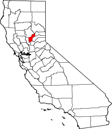
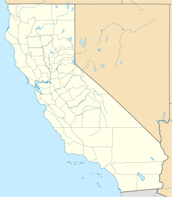 Marigold Location in California | |
| Coordinates: 39°10′53″N 121°27′28″W | |
| Country | United States |
| State | California |
| County | Yuba County |
| Elevation | 108 ft (33 m) |
A post office operated at Marigold from 1911 to 1929.[2] The name is from Marysville Gold Mining Company.[2] Gold dredging was practiced at the nearby Yuba Goldfields in the early 20th century.[2]
References
- U.S. Geological Survey Geographic Names Information System: Marigold, California
- Durham, David L. (1998). California's Geographic Names: A Gazetteer of Historic and Modern Names of the State. Clovis, Calif.: Word Dancer Press. p. 519. ISBN 1-884995-14-4.
This article is issued from Wikipedia. The text is licensed under Creative Commons - Attribution - Sharealike. Additional terms may apply for the media files.