Margariti
Margariti (Greek: Μαργαρίτι) is a village and a former municipality in Thesprotia, Epirus, Greece. Since the 2011 local government reform it is part of the municipality Igoumenitsa, of which it is a municipal unit.[2] The municipal unit has an area of 149.223 km2.[3] Population 2,491 (2011).
Margariti Μαργαρίτι | |
|---|---|
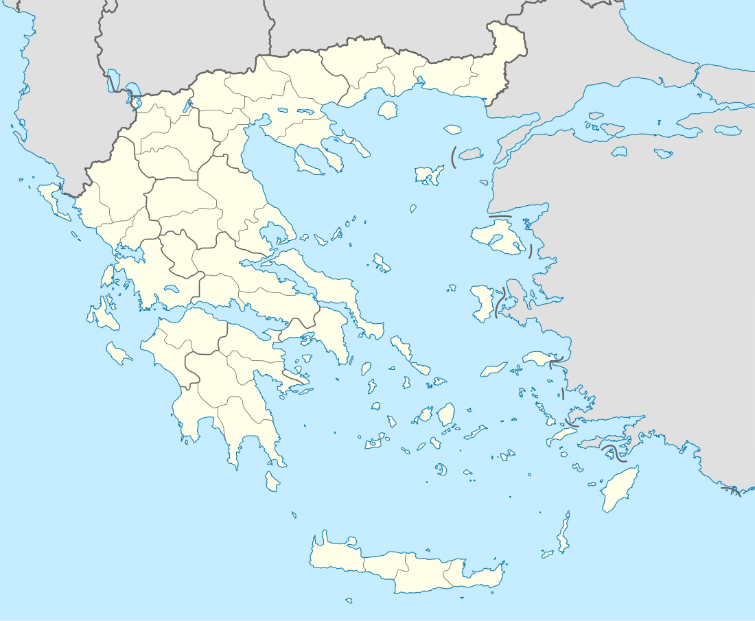 Margariti Location within the regional unit  | |
| Coordinates: 39°22′N 20°25′E | |
| Country | Greece |
| Administrative region | Epirus |
| Regional unit | Thesprotia |
| Municipality | Igoumenitsa |
| • Municipal unit | 149.2 km2 (57.6 sq mi) |
| Population (2011)[1] | |
| • Municipal unit | 2,491 |
| • Municipal unit density | 17/km2 (43/sq mi) |
| Community | |
| • Population | 783 (2011) |
| Time zone | UTC+2 (EET) |
| • Summer (DST) | UTC+3 (EEST) |
| Vehicle registration | ΗΝ |
Names
Margariti was named after the white flower Margarita (Greek: Μαργαρίτα) which is known to grow in vast amounts in the region around the valley of Margariti. Margariti is known as Margëlliç in Albanian[4] and as Margliç in Ottoman Turkish.
History
In February 1913, Margariti was taken by the Greek army and joined Greece following the Treaty of London. During that period all village elders of the region gathered and declared that they would resist the incorporation of the area into Greece.[5] At that time the town had a mixed population of Greeks and Cham Albanians until the final expulsion as a result of the Cham collaboration with the Nazi occupation forces. Almost all Cham Albanian monuments of Margariti were destroyed during World War II.[6] Population movements to the town that occurred from the middle of the 19th century weakened the Muslim elite and led to the gradual Hellenization of former Albanian-majority towns in the area such as Margariti in the 1920s.[7] During the interwar period, Margariti was among the important towns of the Cham Albanian community located in the coastal region of the Greek part of Chameria and a centre of the Albanian speaking area.[8][9]
Province
The province of Margariti (Greek: Επαρχία Μαργαριτίου) was one of the provinces of the Thesprotia Prefecture. Its territory corresponded with that of the current municipal units Margariti and Perdika.[10] It was abolished in 2006.
Notable residents
- Hamdi Çami, deputy of Preveza in the Ottoman Parliament
- Jakup Veseli, representative of Chameria in Vlora Congress, signatory of Albanian Declaration of Independence.[11]
- Konstantinos Zakas (1916–1986) Greek Army General.[12]
References
- "Απογραφή Πληθυσμού - Κατοικιών 2011. ΜΟΝΙΜΟΣ Πληθυσμός" (in Greek). Hellenic Statistical Authority.
- Kallikratis law Greece Ministry of Interior (in Greek)
- "Population & housing census 2001 (incl. area and average elevation)" (PDF) (in Greek). National Statistical Service of Greece. Archived from the original (PDF) on 2015-09-21.
- Kretsi, Georgia (2002). "The "Secret" Past of the Greek-Albanian Borderlands: Cham Muslims Albanians: Perspectives on a Conflict Over Historical Accountability and Current Rights". Ethnologia Balkanica : Journal for Southeast European Anthropology. 6 (171). OCLC 717134456.
- Leon, George B. (1990). Greece and the First World War: from neutrality to intervention, 1917-1918. East European Monographs. p. 353. ISBN 978-0-88033-181-4. Retrieved 1 November 2010.
- Kiel, Machiel (1990). Ottoman architecture in Albania, 1385-1912. Research Centre for Islamic History, Art and Culture. p. 3. ISBN 978-92-9063-330-3. Retrieved 1 November 2010.
- Tsoutsoumpis, Spiros (2015). "Violence, resistance and collaboration in a Greek borderland: the case of the Muslim Chams of Epirus «Qualestoria» n. 2, dicembre 2015". Qualestoria. 2: 24–25. Retrieved 16 January 2018.
Until the early 20th century, economic strength lay in the hands of the Muslim landowner class, many of whom were engaged in commerce and usury. This situation had been changing gradually since the mid-19th century as small numbers of individuals and later families from the province of Ioannina, settled in the principal towns of the region establishing business. By the 1920s, they were joined by local men who slowly came to constitute an elite that threatened to wrest economic control from the Muslim notables. The presence of these men led to a gradual Hellenization of formerely Albanian-majority towns, like Margariti and Filiates that was viewed with disdain by the Muslim peasantry
- Kentrotis, Kyriakos D. (1993). Der Verlauf der griechisch-albanischen Beziehungen nach dem Zweiten Weltkrieg und die Frage der muslimishen Tschamen (in German). pp. 271–299. Retrieved 17 January 2018.
Im griechischen Teil zählte man im Jahre 1923 20.319 Moslems albanischer Muttersprache. Als wichtigste Ortschaften des griechischen Çamëria sind Paramythia, Filiates, Parga und Margarti zu nennen.
- Hammond, Nicholas Geoffrey Lemprière (1967). Epirus: the Geography, the Ancient Remains, the History and Topography of Epirus and Adjacent Areas. Oxford: Clarendon Press. p. 50. ISBN 9780198142539.CS1 maint: ref=harv (link) "and it is the most southerly of the villages of Tsamouria, the Albanian speaking area of which Margariti and Paramythia are centres.", p. 76. "The canton of Margariti. This canton forms the heart of the Tsamouria, the region of Albanian-speaking villages. It is remote and rather backward territory of which Margariti is the geographical centre"
- "Detailed census results 1991" (PDF). Archived from the original (PDF) on 2016-03-03. (39 MB) (in Greek and French)
- Vlora, Ekrem(2001) (in Albanian), Kujtime [Memories], Tirana, Albania: Shtëpia e librit & Komunikimit, ISBN 99927-661-6-6
- Margariti.gr Archived 2010-05-16 at the Wayback Machine