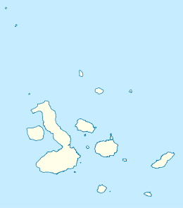
Marchena Island
The island's name, Marchena Island, comes from the Spanish monk, Frey Antonio de Marchena.[1] It has an area of 130 km² and a maximum altitude of 343 meters.[2] The island is not set up for visitors, although the surrounding water is used by aquatic divers on organised tours.
 Marchena Island | |
| Geography | |
|---|---|
| Location | Galápagos Islands, Ecuador |
| Coordinates | 0.35°N 90.5°W |
| Archipelago | Galápagos Islands |
| Administration | |
| Province | Galápagos Province |
| Canton | Santa Cruz |
People generally see the island as they sail around the northern part of Isabela on the way to Tower Island. Marchena is Tower Island's nearest neighbor, about 45 miles due west.
Like many of the Galápagos volcanos, Marchena has a caldera. Marchena's caldera is roughly elliptical and measures 7 by 6 kilometres (4 by 4 miles), within the range of caldera sizes of the large western volcanoes. Marchena's caldera is unusual, however, in that it has been almost completely filled with young lavas, some of which has spilled over and down the sides. The oldest lava pools go back 500,000 years.
Another reason why Isla Marchena is so famous is that, although it is uninhabited, it was embroiled in the ‘Floreana Mystery’. Here the dead bodies of Rudolf Lorenz and the captain of the ship he was on, washed up mysteriously on the shore of the island and were mummified naturally as there were no natural predators found here.
See also
References
- "Marchena". Galapagos Conservancy. galapagos.org. Retrieved 2 June 2017.
- "MARCHENA ISLAND (BINDLOE), GALAPAGOS". Animal Corner. animalcorner.co.uk. Retrieved 2 June 2017.