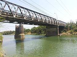
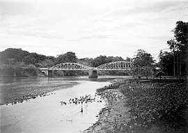
Manuk River
Manuk River (Indonesian: Ci Manuk, means: Bird River in Sundanese) is a river in West Java, Indonesia, about 170 km east of the capital Jakarta.[1][2]
| Ci Manuk Sungai Cimanuk, Cimanuk, Tji Manuk, Tji Manoek, Tjimanuk, Tjimanoek | |
|---|---|
 | |
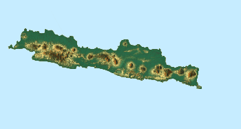 Location of river mouth  Manuk River (Indonesia) | |
| Location | |
| Country | Indonesia |
| Province | West Java |
| Physical characteristics | |
| Source | |
| • location | Garut Regency, West Java |
| Mouth | |
• location | Indramayu Regency, West Java |
| Length | 180 km (110 mi) |
| Basin size | 3.584 km2 (1.384 sq mi) |
Hydrology
Floods caused by the overflow of the river Cimanuk, in this Garut Regency hit on 21 September 2016, which damage at least 7 districts. some people lost, injured and even lost hundreds of homes.[4]
Geography
The river flows in the western area of Java with predominantly tropical monsoon climate (designated as Am in the Köppen-Geiger climate classification).[5] The annual average temperature in the area is 25 °C. The warmest month is October, when the average temperature is around 28 °C, and the coldest is February, at 21 °C.[6] The average annual rainfall is 2465 mm. The wettest month is January, with an average of 461 mm rainfall, and the driest is September, with 6 mm rainfall.[7]
References
- Rand McNally, The New International Atlas, 1993.
- Ci Manuk at Geonames.org (cc-by); Last updated 2013-06-04; Database dump downloaded 2015-11-27
- Cimanuk Lawas - OpenStreetMap.org. Cimanuk Anyar is to the left, flowing to the northwest direction.
- Pengungsi akibat Banjir Bandang di Garut Mencapai 1.000 Orang Kristian Erdianto. Kompas.com - 21 Sep 2016.
- Peel, M C; Finlayson, B L; McMahon, T A (2007). "Updated world map of the Köppen-Geiger climate classification". Hydrology and Earth System Sciences. 11: 1633–1644. doi:10.5194/hess-11-1633-2007. Retrieved 30 January 2016.
- "NASA Earth Observations Data Set Index". NASA. 30 January 2016.
- "NASA Earth Observations: Rainfall (1 month - TRMM)". NASA/Tropical Rainfall Monitoring Mission. 30 January 2016.