Mala Štanga
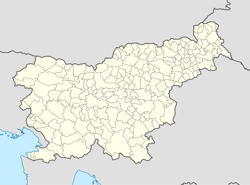
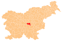
Mala Štanga (pronounced [ˈmaːla ˈʃtaːŋɡa]; German: Stangenwald,[2] Stangen[3]) is a small dispersed settlement in the Municipality of Šmartno pri Litiji in central Slovenia. It lies in the Sava Hills (Slovene: Posavsko hribovje) west of Litija. The area is part of the historical region of Lower Carniola. The municipality is now included in the Central Slovenia Statistical Region.[4]
Mala Štanga | |
|---|---|
 | |
 Mala Štanga Location in Slovenia | |
| Coordinates: 46°3′35.75″N 14°45′14.08″E | |
| Country | |
| Traditional region | Lower Carniola |
| Statistical region | Central Slovenia |
| Municipality | Šmartno pri Litiji |
| Area | |
| • Total | 1.81 km2 (0.70 sq mi) |
| Elevation | 529.1 m (1,735.9 ft) |
| Population (2002) | |
| • Total | 26 |
| [1] | |
An Early Iron Age hillfort has been identified on a hill to the east of the settlement, although the usual associated burial ground has yet to be found.[5]
References
- Statistical Office of the Republic of Slovenia
- Klun, V. F. 1852. Archiv für die Landesgeschichte des Herzogthums Krain. Vol. 1. Ljubljana: Kleinmayr & Bamberg, p. 116
- Leksikon občin kraljestev in dežel zastopanih v državnem zboru, vol. 6: Kranjsko. 1906. Vienna: C. Kr. Dvorna in Državna Tiskarna, p. 96.
- Šmartno pri Litiji municipal site
- "EŠD 19943". Registry of Immovable Cultural Heritage (in Slovenian). Ministry of Culture of the Republic of Slovenia. Retrieved 9 September 2011.
External links
- Mala Štanga at Geopedia

| Settlements | Administrative centre: Šmartno pri Litiji
|  |
|---|---|---|
| Landmarks |
| |
| Notable people |
| |
This article is issued from Wikipedia. The text is licensed under Creative Commons - Attribution - Sharealike. Additional terms may apply for the media files.