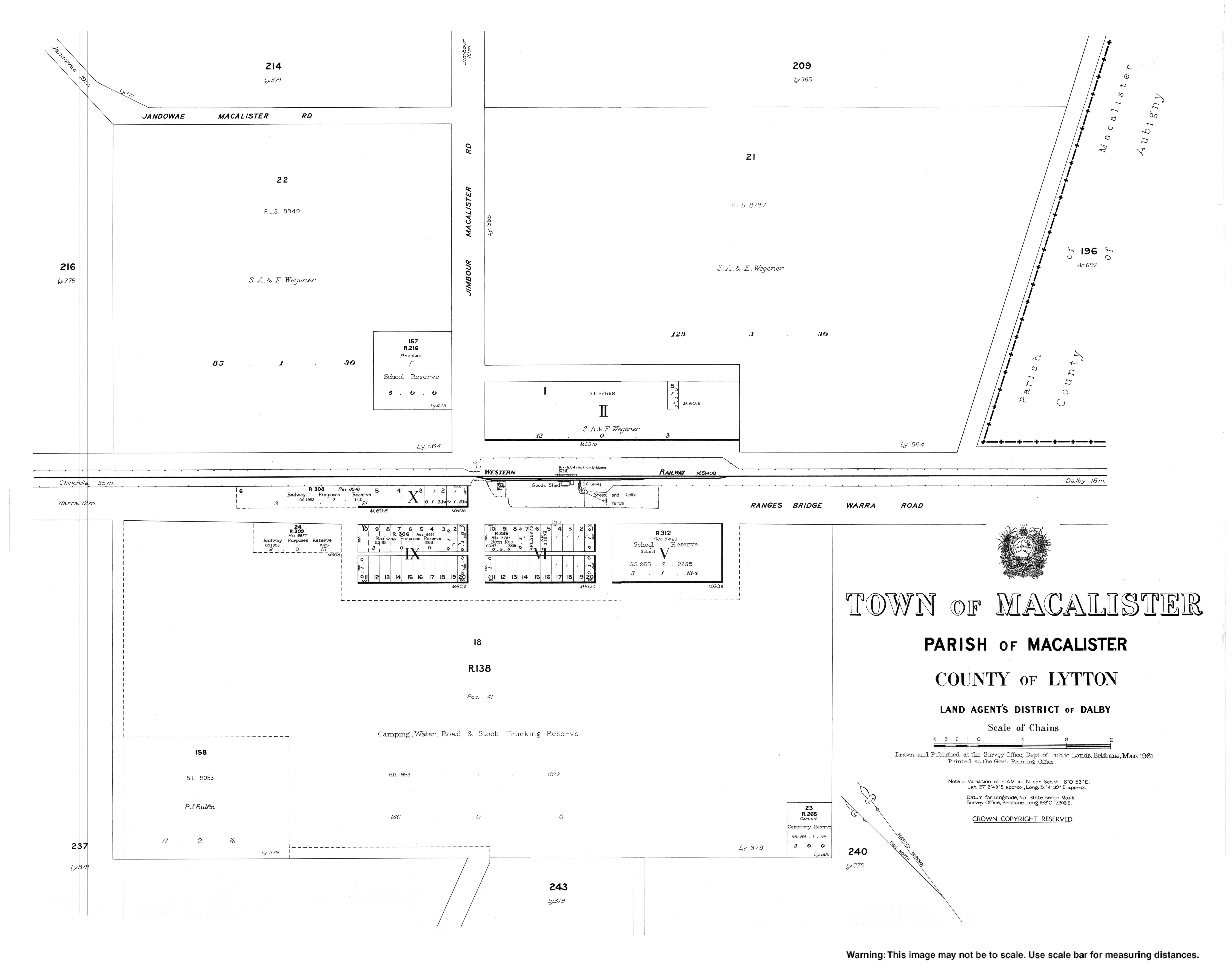
Macalister, Queensland
Macalister is a town and a locality in the Western Downs Region, Queensland, Australia.[2][3]
| Macalister Queensland | |||||||||||||||
|---|---|---|---|---|---|---|---|---|---|---|---|---|---|---|---|
 Reedeemer Lutheran Church | |||||||||||||||
 Macalister | |||||||||||||||
| Coordinates | 27.0436°S 151.0772°E | ||||||||||||||
| Population | 486 (2006 census)[1] | ||||||||||||||
| • Density | 1.3174/km2 (3.412/sq mi) | ||||||||||||||
| Postcode(s) | 4406 | ||||||||||||||
| Area | 368.9 km2 (142.4 sq mi) | ||||||||||||||
| Location | |||||||||||||||
| LGA(s) | Western Downs Region | ||||||||||||||
| State electorate(s) | Warrego | ||||||||||||||
| Federal Division(s) | Maranoa | ||||||||||||||
| |||||||||||||||
Geography
The town is located in the Darling Downs and on the Warrego Highway, 235 kilometres (146 mi) north west of the state capital, Brisbane. Within the locality to the south-east of the town of Macalister is an area known as Apunyal (from an Indigneous word meaning large plain).[4]
History
The town is named after Arthur Macalister, Premier of Queensland from 1866 to 1867.[2] The name Apunyal is an Aboriginal word meaning large plain.[4]
Macalister Post Office opened on 1 July 1880 (a receiving office had been open from 1876, known as Jimbour Creek until 1878) and closed in 1980.[5]
Macalister Provisional School opened on 27 August 1894, becoming Macalister State School on 1 January 1909. In 1913 it was renamed Apunyal State School, while a newly opened school took the name Macalister State School. Apunyal State School closed about 1935, while the second Macalister State School closed on 4 May 1973.[6]
At the 2006 census, Macalister and the surrounding area had a population of 486.[1]
Community groups
The Macalister branch of the Queensland Country Women's Association meets at the Kenmore Library at the QCWA Hall at 20649 Warrego Highway.[7]
References
- Australian Bureau of Statistics (25 October 2007). "Macalister (Wambo Shire) (State Suburb)". 2006 Census QuickStats. Retrieved 31 March 2009.
- "Macalister - town in Western Downs Region (entry 20349)". Queensland Place Names. Queensland Government. Retrieved 12 September 2017.
- "Macalister - locality in Western Downs Region (entry 49274)". Queensland Place Names. Queensland Government. Retrieved 12 September 2017.
- "Apunyal - neighbourhood in the Western Downs Region (entry 710)". Queensland Place Names. Queensland Government. Retrieved 17 September 2017.
- Premier Postal History. "Post Office List". Premier Postal Auctions. Retrieved 10 May 2014.
- Queensland Family History Society (2010), Queensland schools past and present (Version 1.01 ed.), Queensland Family History Society, ISBN 978-1-921171-26-0
- "Branch Locations". Queensland Country Women's Association. Retrieved 26 December 2018.