Louhajang Upazila
Louhajang (Bengali: লৌহজং [meaning rusting of iron]) is an Upazila of Munshiganj District[1] in the Division of Dhaka, Bangladesh.
Louhajang লৌহজং | |
|---|---|
Upazila | |
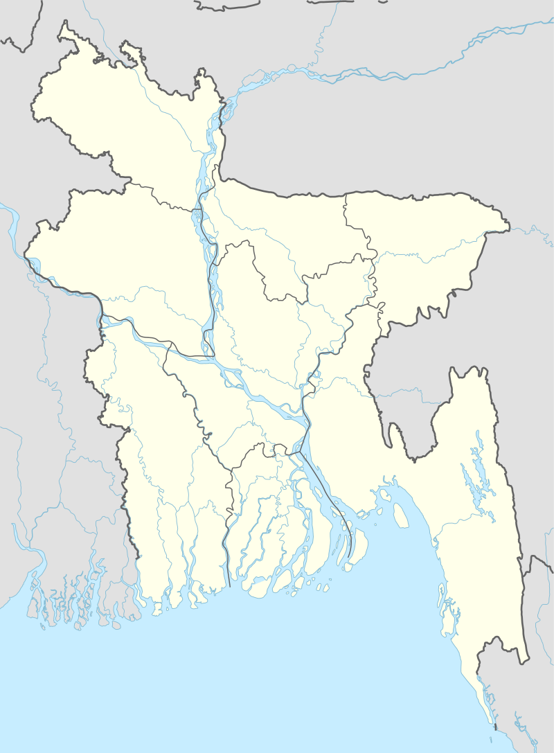 Louhajang Location in Bangladesh | |
| Coordinates: 23°28′N 90°20.5′E | |
| Country | |
| Division | Dhaka Division |
| District | Munshiganj District |
| Area | |
| • Total | 130.12 km2 (50.24 sq mi) |
| Population (1991) | |
| • Total | 153,433 |
| • Density | 1,179/km2 (3,050/sq mi) |
| Time zone | UTC+6 (BST) |
| Website | Official Website of Lohajang |
Geography
Louhajang is located at 23.4667°N 90.3417°E . It has 26,570 households and a total area of 130.12 km².
Demographics
According to the 1991 Bangladesh census, Louhajang had a population of 153,433, of whom 72,930 were aged 18 or over. Males constituted 50.07% of the population, and females 49.93%. Lohajang has an average literacy rate of 37.1% (7+ years), against the national average of 32.4%.[2]
Administration
Louhajang has 10 Unions/Wards, 115 Mauzas/Mahallas, and 110 villages. Famous Union Parishad kanaksher. Freedon fighter used to take rest and shelter, Naynakanda, Haji Bari(Late Haji Abdul Goni).They provide food, clothes, and necessary item during liberation period 1971
See also
- Upazilas of Bangladesh
- Districts of Bangladesh
- Divisions of Bangladesh
References
- Helen Nawshin (2012), "Lohajang Upazila", in Sirajul Islam and Ahmed A. Jamal (ed.), Banglapedia: National Encyclopedia of Bangladesh (Second ed.), Asiatic Society of Bangladesh
- "Population Census Wing, BBS". Archived from the original on 2005-03-27. Retrieved November 10, 2006.
| Upazila/Thana: |
| |
|---|---|---|
Headquarters: Dhaka | ||
| Dhaka District | 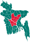 | |
| Faridpur District | ||
| Gazipur District | ||
| Gopalganj District | ||
| Kishoreganj District | ||
| Madaripur District |
| |
| Manikganj District | ||
| Munshiganj District |
| |
| Narayanganj District | ||
| Narsingdi District | ||
| Rajbari District |
| |
| Shariatpur District |
| |
| Tangail District | ||