Lata Mountain
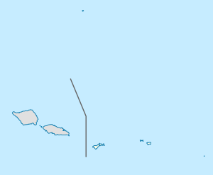
Lata Mountain is the highest point of American Samoa, on the island of Ta'u, and is located in the Manu'a Islands.[2][3]
| Lata Mountain | |
|---|---|
 Lata Mountain | |
| Highest point | |
| Elevation | 966.2 m (3,170 ft) [1] |
| Prominence | 966.2 m (3,170 ft) |
| Coordinates | 14°14′13″S 169°27′25″W |
| Geography | |
| Location | Ta'u Island, American Samoa |
See also
References
- https://www.nps.gov/npsa/planyourvisit/upload/manua.pdf U.S. National Park Service. National Park of American Samoa. Maps [Map of the Manu'a Islands]. Retrieved July 28, 2020.
- Schyma, Rosemarie (2013). Südsee. DuMont Reiseverlag. Page 260. ISBN 9783770176946.
- Brillat, Michael (1999). South Pacific Islands. Hunter Publishing, Inc. Page 139. ISBN 9783886181049.
Highest natural points of U.S. states and additional U.S. areas | ||
|---|---|---|
| ||
| Additional U.S. areas | ||
This article is issued from Wikipedia. The text is licensed under Creative Commons - Attribution - Sharealike. Additional terms may apply for the media files.