Lake Koshkonong
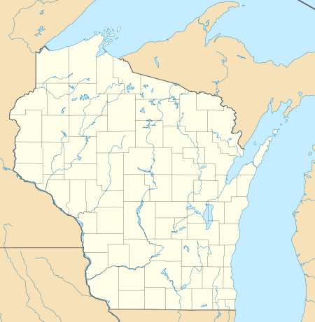
Lake Koshkonong is a reservoir in southern Wisconsin. It lies along the Rock River, 5.5 mi (8.9 km) downriver from Fort Atkinson, primarily in southwestern Jefferson County. Small portions of the lake extend into southeastern Dane and northern Rock counties.
| Lake Koshkonong | |
|---|---|
 Lake Koshkonong  Lake Koshkonong | |
| Location | Jefferson / Rock / Dane counties, Wisconsin, US |
| Coordinates | 42°52′27″N 88°57′29″W |
| Lake type | reservoir |
| Primary inflows | Rock River |
| Primary outflows | Rock River |
| Basin countries | United States |
| Surface area | 10,500 acres (42 km2) |
| Average depth | 6 ft (2 m) |
| Surface elevation | 774 ft (236 m) |
The Potawatomi people referred to the region around the Yahara River as Gishkzhegonang in Ojibwe, meaning (Catfish Place. This was transliterated into English as "Koshkonong." The Potawatomi called the lake Éndayang-zagegen (or "Lake Where-we-live-on"). Early English and European settlers referred to it as Lake Koshkonong, after the name for the locale.[1]
Similarly, Fort Koshkonong, a fort of some importance to the United States during the Black Hawk War, was named for this geography. The fort was active before the Rock River was dammed, and this area was a cattail marsh with the Rock River running through the middle.
The Indianford Dam, built several miles down the Rock River from Lake Koshkonong, has made it one of the larger lakes in the state of Wisconsin (10,500 acres (42 km2)). It remains very shallow with an average depth of six feet (1.8 metres). The reservoir dates from 1932, when the dam was built during the Great Depression. It is 13 feet (4.0 metres) high and with a length of 500 ft (150 m) at its crest. Maximum capacity of the reservoir is 107,000 acre⋅ft (132,000,000 m3). Both dam and reservoir are owned and operated by Rock County.
On the east, the lake borders the Town of Koshkonong, and on its north the Town of Sumner.
Proposed nuclear power plant
In the 1970s, Lake Koshkonong was the primary site considered for a billion dollar nuclear power station. Wisconsin Electric Power Company, Wisconsin Power and Light Company, Madison Gas and Electric, and Wisconsin Public Service Corporation jointly proposed the project. In 1974, it was estimated that the utilities would lose $40 million if the two-unit, 900 MW each, facility was not approved. At that time, the timetable had already slipped to a 1983/1984 commissioning.[2]
The plan met with strong resistance from environmental groups. It was eventually killed in 1977 by concerns regarding the lake's shallow depth and consequences to the plant during drought conditions. Attempts were made to salvage the $40 million investment by moving the facility to Haven, Wisconsin, near Sheboygan, but state utilities gave up on their plans for construction of a nuclear station in Wisconsin following the Three Mile Island accident in Pennsylvania. The plant was planned to be built on Vickerman Road, east of the lake and east of Wisconsin Highway 26.(42°51′37″N 88°53′27″W)[3]
References
- Cassidy, Frederic G. (2009) "Lake Koshkonong", Dane County Place-Names, p. 87.
- "Lake Koshkonong Nuclear Plant Timetable Back By Two Years". The Sheboygan Press, December 20, 1974, p. 5.
- Schlicht, Lauren. Weighing Koshkonong technology against ecology. Goldlin, Jan (ed.) / The Wisconsin Engineer, Volume 80, Number 5 (March 1976)