Kitgum, Uganda
Kitgum is a municipality in Kitgum District in the Northern Region of Uganda. The town is administered by Kitgum Town Council, an urban local government. It is the largest metropolitan area in the district and the site of the district headquarters.
Kitgum | |
|---|---|
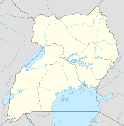 Kitgum Map of Uganda showing the location of Kitgum. | |
| Coordinates: 03°17′20″N 32°52′40″E | |
| Country | |
| Region | Northern Region of Uganda |
| Sub-region | Acholi sub-region |
| District | Kitgum District |
| Elevation | 760 m (2,490 ft) |
| Population (2014 Census) | |
| • Total | 44,604[1] |
| Time zone | UTC+3 (EAT) |
Location
Kitgum is bordered by Padibe to the north, Mucwini to the north-east, Kitgum Matidi to the east, Acholibur to the south, and Pajimu to the west. The town is approximately 108 kilometres (67 mi), by road, north-east of Gulu, the largest city in the Acholi sub-region.[2] This is approximately 460 kilometres (290 mi), by road, north of Uganda's capital Kampala.[3] The coordinates of Kitgum are 3°17'20.0"N, 32°52'40.0"E (Latitude:3.288889; Longitude:32.877778).[4]
Population
On 27 August 2014, the national population census put the population of Kitgum town at 44,604.[1]
Points of interest
The following additional points of interest are located within or near the town of Kitgum:
- Acaki Lodge, mid range lodge with 10 chalets built of local materials and thatching, 2 tents, a conference facility and gardensset out on an expansive 20 acre leafy plain on the banks of Alango Stream, Acaki Lodge was constructed on what was formerly a garbage dump.It is a conservation miracle as the land has now been turned into a green park.
- Kitgum Hospital, a 200-bed public hospital administered by the Uganda Ministry of Health
- St. Joseph's Hospital Kitgum, a 300-bed community hospital administered by the Roman Catholic Archdiocese of Gulu
- offices of Kitgum Town Council
- Kitgum central market
- Irene Gleeson Foundation Headquarters, the first school started by Irene Gleeson and serving over 3,000 students[5]
- Rwekunye–Apac–Aduku–Lira–Kitgum–Musingo Road, the 350 kilometres (217 mi) mile road passing through the middle of town[6]
- National Memory and Peace Documentation Centre
See also
- Acholi people
- List of cities and towns in Uganda
- Okello Oryem
- Olara Otunnu
References
- UBOS, . (27 August 2014). "The Population of The Regions of the Republic of Uganda And All Cities And Towns of More Than 15,000 Inhabitants". Citypopulation.de Quoting Uganda Bureau of Statistics (UBOS). Retrieved 21 February 2015.CS1 maint: numeric names: authors list (link)
- "Distance Between Gulu And Kitgum With Map". Globefeed.com. Retrieved 26 May 2014.
- "Map Showing Kampala And Kitgum, With Distance Marker". Globefeed.com. Retrieved 26 May 2014.
- Google (13 July 2015). "Location of Kitgum At Google Maps" (Map). Google Maps. Google. Retrieved 13 July 2015.
- Tumwesige, Ernest (19 July 2015). "Irene Gleeson maternal centre commissioned". New Vision. Kampala. Retrieved 20 July 2015.
- Google (20 July 2015). "Google Maps Showing Location of Rwekunye–Apac–Aduku–Lira–Kitgum–Musingo Road In Kitgum Town" (Map). Google Maps. Google. Retrieved 20 July 2015.
External links
Capital: Kitgum | ||
| Counties and sub-counties | Chwa County |  |
| Towns and villages |
| |
| Economy |
| |
| Health | ||
| Transport | ||
| Education |
| |
| Notable people | ||