Kisima Airport
Kisima Airport | |||||||||||
|---|---|---|---|---|---|---|---|---|---|---|---|
| Summary | |||||||||||
| Airport type | Public, Civilian | ||||||||||
| Owner | Kenya Airports Authority | ||||||||||
| Serves | Maralal | ||||||||||
| Location | Kisima, | ||||||||||
| Elevation AMSL | 5,942 ft / 1,811 m | ||||||||||
| Coordinates | 00°57′00″N 36°48′00″E | ||||||||||
| Map | |||||||||||
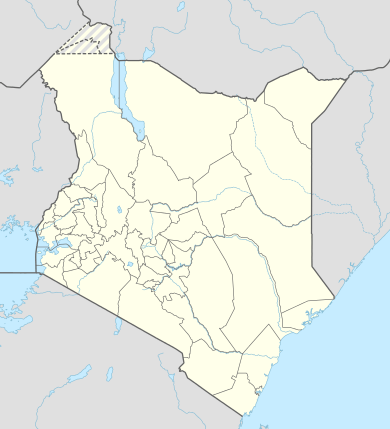 Kisima Location of Kisima Airport in Kenya Placement on map is approximate | |||||||||||
| Runways | |||||||||||
| |||||||||||
Location
Kisima Airport (IATA: n/a, ICAO: HKMI) is located in Kisima, a village in Samburu County in northwestern Kenya, near the town of Maralal, in the eastern part of the Loroghi Plateau.
By air, Kisima Airport is situated approximately 201 kilometres (125 mi), by air, north of Nairobi International Airport, Kenya's largest civilian airport.[1] The approximate geographic coordinates of this airport are:0° 57' 0.00"N, 36° 48' 0.00"E (Latitude:0.9500; Longitude:36.8000).
Overview
Kisima Airport is a small civilian airport, serving the village of Kisima and the neighboring town of Maralal. Situated at 5,942 feet (1,811 m) above sea level,[2] the airport has a single unpaved runway measuring 3,000 feet (910 m) in length.[3]
Airlines and destinations
None at the moment.
References
- "Distance between Kisima Farm (Rift Valley) and Jomo Kenyatta Airport Nairobi (Nairobi Area) (Kenya)". distancecalculator.globefeed.com. Retrieved 2018-08-21.
- "Site Information for HKMI". weather.gladstonefamily.net. Retrieved 2018-08-21.
- "Airports in Kenya". www.aircraft-charter-world.com. Retrieved 2018-08-21.
External links
This article is issued from Wikipedia. The text is licensed under Creative Commons - Attribution - Sharealike. Additional terms may apply for the media files.