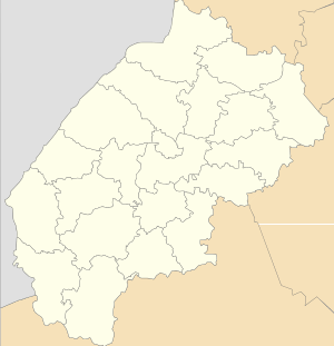
Kernytsia
Kernytsia (Ukrainian: Керни́ця) is a village (selo) in Horodok Raion, Lviv Oblast, of Western Ukraine. Chuchenosy villages name has been in antiquities. The modern name of village was constituted in 1780 year.
Local government is administered by Kernytska village council. [1] Until Kernytska village council is included a village Artyschiv, a village Liubovychi, a village Mavkovychi and a village Velyka Kalynka.
Kernytsia Керниця | |
|---|---|
 Kernytsia | |
| Coordinates: 49°46′52″N 23°45′20″E | |
| Country | |
| Province | |
| District | |
| Established | 1465 |
| Area | |
| • Total | 16,55 km2 (639 sq mi) |
| Elevation /(average value of) | 281 m (922 ft) |
| Population | |
| • Total | 1,500 |
| • Density | 90,63/km2 (23,470/sq mi) |
| Time zone | UTC+2 (EET) |
| • Summer (DST) | UTC+3 (EEST) |
| Postal code | 81550 |
| Area code | +380 3231 |
| Website | селище Керниця (Ukrainian) |
Geography
The village is located at a distance of 3 kilometres (1.9 mi) from the highway in Ukraine ![]()
History and Attractions
The first mention of Kernytsia dates from the year 1465.[2] On the territory of village was a German colony Brundorf before World War II. The village was burned during World War II.
The village has an architectural monument of local importance of Horodok Raion (Horodok district) – Church of the Exaltation of the Cross 1888 (1572 –м).[3]
- Exaltation of the Holy Cross Church (1888)
- Statue of Jesus Christ
References
- Керницька сільська рада (in Ukrainian)
- (in Ukrainian)
- uk: Пам'ятки архітектури Городоцького району