Kasba, Uttar Dinajpur
Kasba is a census town in Raiganj CD Block in Raiganj subdivision of Uttar Dinajpur district in the Indian state of West Bengal.
Kasba | |
|---|---|
Census Town | |
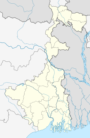 Kasba Location in West Bengal, India  Kasba Kasba (India) | |
| Coordinates: 25.5856°N 88.1122°E | |
| Country | |
| State | West Bengal |
| District | Uttar Dinajpur |
| Population (2011) | |
| • Total | 10,067 |
| Languages | |
| • Official | Bengali, English |
| Time zone | UTC+5:30 (IST) |
| Vehicle registration | WB |
| Website | uttardinajpur |
Geography
 |
| Cities and towns in the Uttar Dinajpur district M: municipal city/ town, CT: census town, R: rural/ urban centre, T: tourist centre Owing to space constraints in the small map, the actual locations in a larger map may vary slightly |
Location
Kasba is located at 25.5856°N 88.1122°E
Demographics
As per the 2011 Census of India, Kasba had a total population of 10,067, of which 5,221 (52%) were males and 4,846 (48%) were females. Population below 6 years was 914. The total number of literates in Kasba was 7,695 (84.07% of the population over 6 years).[1]
As of 2001 India census,[2] Kasba had a population of 9,842. Males constitute 53% of the population and females 47%. Kasba has an average literacy rate of 73%, higher than the national average of 59.5%: male literacy is 79%, and female literacy is 67%. In Kasba, 11% of the population is under 6 years of age.
References
- "C.D. Block Wise Primary Census Abstract Data(PCA)". West Bengal – District-wise CD Blocks. Registrar General and Census Commissioner, India. Retrieved 9 January 2019.
- "Census of India 2001: Data from the 2001 Census, including cities, villages and towns (Provisional)". Census Commission of India. Archived from the original on 16 June 2004. Retrieved 1 November 2008.
Cities, towns and locations in Uttar Dinajpur district | |||||
|---|---|---|---|---|---|
| Cities, municipal and census towns |
| ||||
| Locations other than cities and towns |
| ||||
| Neighbourhoods in Uttar Dinajpur | |||||
| Related topics | |||||
| |||||
This article is issued from Wikipedia. The text is licensed under Creative Commons - Attribution - Sharealike. Additional terms may apply for the media files.