Karkabud
Karkabud (Persian: كركبود, also Romanized as Karkabūd)[1] is a small, mountainous village in Bala Taleqan Rural District, in the Central District of Taleqan County, Alborz Province, Iran. At the 2006 census, its population was 127, in 39 families which is different from other villages because of its stones’ color that is bluish-purple (It looks like when you get bruise). The village is in the upper part of Taleghan at 50 degrees and 49 minutes longitude and 36 degrees and 12 minutes latitude and 2271 meters above sea level located on the slopes of the mountain. Inside the village, trees are tall and uplifted which they are uniques as well as less observed in other villages. Along the trees, there are some alleys where the shades of its tall trees are very cool and refreshing, also they connect different parts of the village to each other.[2]

Karkabud كركبود | |
|---|---|
village | |
 Karkabud | |
| Coordinates: 36°12′56″N 50°51′13″E | |
| Country | |
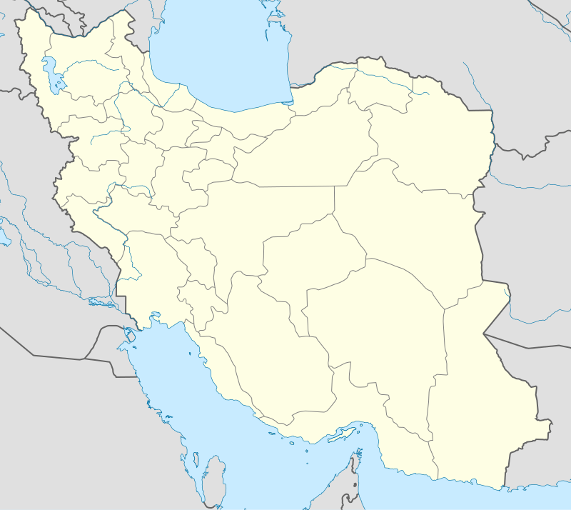
| Province | Alborz |
| County | Taleqan |
| Bakhsh | Central |
| Rural District | Bala Taleqan |
| Population (2006) | |
| • Total | 127 |
| Time zone | UTC+3:30 (IRST) |
| • Summer (DST) | UTC+4:30 (IRDT) |
See also
References
- Karkabud can be found at GEOnet Names Server, at this link, by opening the Advanced Search box, entering "-3838731" in the "Unique Feature Id" form, and clicking on "Search Database".
- "Census of the Islamic Republic of Iran, 1385 (2006)". Islamic Republic of Iran. Archived from the original (Excel) on 2011-11-11.
| Capital | |||||||||||||
|---|---|---|---|---|---|---|---|---|---|---|---|---|---|
| Districts |
| ||||||||||||