Kamienne
Kamienne [kaˈmʲɛnːɛ] (Ukrainian: Кам'яне, Kamyane), village in East Małopolska in the Lesser Beskid mountains.
Kamienne Kamienne | |
|---|---|
Village | |
 | |
 Kamienne | |
| Coordinates: 49°27′31″N 22°06′07″E | |
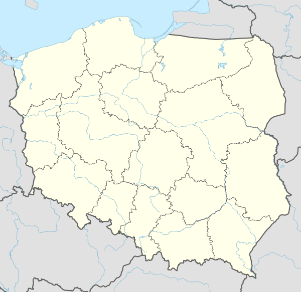
| Country | Poland |
| Voivodeship | Subcarpathian |
| Powiat | Sanok |
| Gmina | Bukowsko |
| Founded | 1550 |
| Area | |
| • Total | 4.8 km2 (1.9 sq mi) |
| Elevation | 270 m (890 ft) |
| Population | |
| • Total | 0 |
| Time zone | UTC+1 (CET) |
| • Summer (DST) | UTC+2 (CEST) |
| Postal code | 38-507 |
Kamienne about 16 kilometres east of Sanok in south-east Poland. It is situated below the main watershed at the foot of the Słonne Mountain, and has an elevation of 340 metres. Situated in the Subcarpathian Voivodship (since 1999), previously in Krosno Voivodship (1975–1998) and Sanok district, gmina Bukowsko. The village was located about halfway between Bukowsko and Płonna.

Kamienne was founded in 1550 by Herburts family. From 966–1018, 1340- 1772 (Ruthenian Voivodeship) and from 1918-1939 Kamienne was part of Poland. While during 1772-1918 it belonged to Austrian empire, later Austrian-Hungarian empire when double monarchy was introduced in Austria. The village was burned down in the spring 1946 by the Polish Army after its Ukrainian population had been forced to re-allocate to Soviet Ukraine by Polish Army. The small chapel in Kamienne is very hard to get to. One has to hike through underbrush up a hill to get to it on top of needing an off-road vehicle to get to what is left of the village. The few standing buildings are just used now for hunting cabins. The small cemetery in Kamienne has no headstones but the graves are quite noticeable.

| Year | Pop. | ±% |
|---|---|---|
| 1880 | 162 | — |
| 1936 | 200 | +23.5% |
| 2001 | 3 | −98.5% |
| Seat |  | |
|---|---|---|
| Other villages | ||