Kaltennordheim
Kaltennordheim is a town in the Schmalkalden-Meiningen district, in Thuringia, Germany. It is situated in the Rhön Mountains, 22 km southwest of Bad Salzungen, and 35 km east of Fulda. The former municipalities Aschenhausen, Kaltensundheim, Kaltenwestheim, Melpers, Oberkatz und Unterweid were merged into Kaltennordheim in January 2019. At the same time, Kaltennordheim passed from the Wartburgkreis to Schmalkalden-Meiningen.
Kaltennordheim | |
|---|---|
 Coat of arms | |
Location of Kaltennordheim within Schmalkalden-Meiningen district 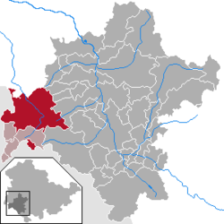 | |
 Kaltennordheim 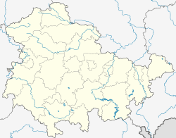 Kaltennordheim | |
| Coordinates: 50°38′N 10°10′E | |
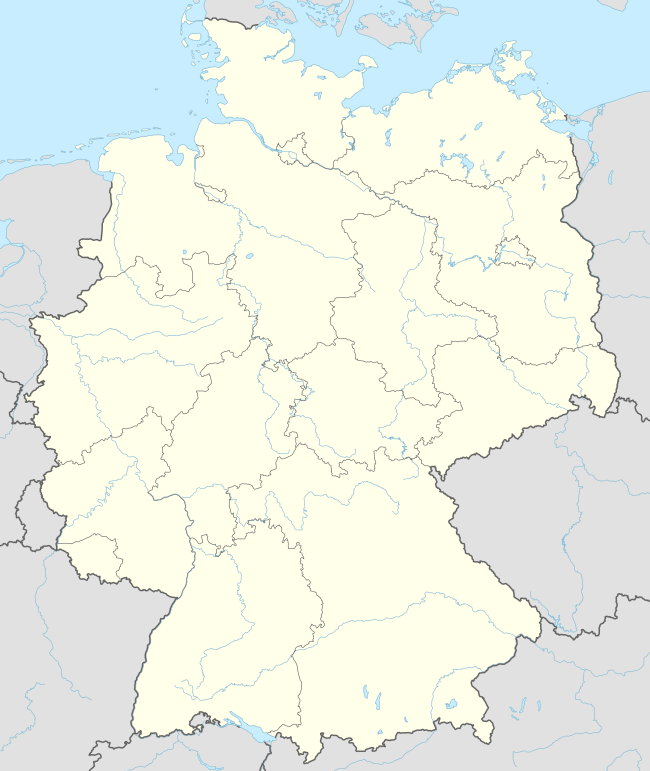
| Country | Germany |
| State | Thuringia |
| District | Schmalkalden-Meiningen |
| Municipal assoc. | Hohe Rhön |
| Government | |
| • Mayor | Erik Thürmer (CDU) |
| Area | |
| • Total | 94.41 km2 (36.45 sq mi) |
| Elevation | 440 m (1,440 ft) |
| Population (2018-12-31)[1] | |
| • Total | 5,853 |
| • Density | 62/km2 (160/sq mi) |
| Time zone | CET/CEST (UTC+1/+2) |
| Postal codes | 36452 |
| Dialling codes | 036966 |
| Vehicle registration | SM |
History
Within the German Empire (1871-1918), Kaltennordheim was part of the Grand Duchy of Saxe-Weimar-Eisenach.
References
- "Bevölkerung der Gemeinden, erfüllenden Gemeinden und Verwaltungsgemeinschaften nach Geschlecht in Thüringen Gebietsstand: 31.12.2018". Thüringer Landesamt für Statistik (in German). September 2019.
| Authority control |
|
|---|
This article is issued from Wikipedia. The text is licensed under Creative Commons - Attribution - Sharealike. Additional terms may apply for the media files.