Kakerbeck (Wittingen)
The village of Kakerbeck lies in the north German state of Lower Saxony in the district of Gifhorn. It is a village in the borough of Wittingen.
Kakerbeck | |
|---|---|
Subdivision of Wittingen | |
Location of Kakerbeck %26groups%3D_4f1ea642a25387713c663d8a627ccfd94ed9418f.svg)
| |
 Kakerbeck 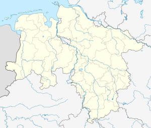 Kakerbeck | |
| Coordinates: 52°44′53″N 10°42′30″E | |
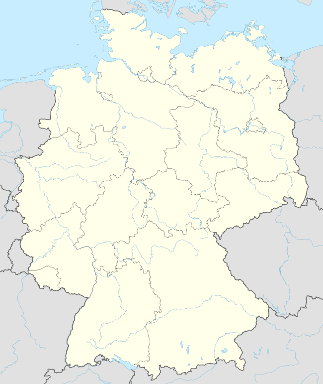
| Country | Germany |
| State | Lower Saxony |
| District | Gifhorn |
| Town | Wittingen |
| Area | |
| • Total | 3.43 km2 (1.32 sq mi) |
| Elevation | 83 m (272 ft) |
| Population (2010-06-30) | |
| • Total | 99 |
| • Density | 29/km2 (75/sq mi) |
| Time zone | CET/CEST (UTC+1/+2) |
| Postal codes | 29378 |
| Dialling codes | 05831 |
Kakerbeck is a rundling village originally probably five farmsteads. Around 100 people live in Kakerbeck today in 29 houses.
Location
The parish lies in the district of Gifhorn south of Wittingen on lightly rolling loess terrain. The village lies on a gentle, southwest-facing slope.
History
Kakerbeck was first documented in the monastery charter of 3 June 1243. However, Kakerbeck is one of the -beke settlements, the origin of which generally belongs to the older clearances period, 500-800 A.D., so may be considered of that.
In the course of the municipal area reform in Lower Saxony, the independent municipality of Kakerbeck was incorporated into the borough of Wittingen on 1 March 1974.[1]
In 1993 the village celebrated its 750th anniversary.
References
- Statistisches Bundesamt, ed. (1983), Historisches Gemeindeverzeichnis für die Bundesrepublik Deutschland. Namens-, Grenz- und Schlüsselnummernänderungen bei Gemeinden, Kreisen und Regierungsbezirken vom 27. 5. 1970 bis 31. 12. 1982 (in German), Stuttgart und Mainz: W. Kohlhammer, p. 227, ISBN 3-17-003263-1
Borough of Wittingen | ||
|---|---|---|