Kaimana Regency
Kaimana Regency is a regency in the south of West Papua province of Indonesia. It covers an area of 16,241.84 sq. km, and had a population of 46,249 at the 2010 Census;[1] the latest official estimate (as at January 2014) is 53,366. The administrative centre is the town of Kaimana. The Mairasi languages are spoken in the regency.
Kaimana Regency Kabupaten Kaimana | |
|---|---|
 Seal | |
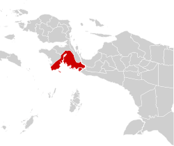 Location in Indonesian Papua | |
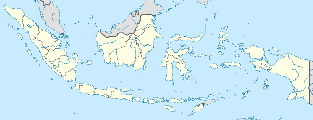 Kaimana Regency Location in Indonesia | |
| Coordinates: 3.6609°S 133.7745°E | |
| Country | Indonesia |
| Province | West Papua |
| Capital | Kaimana |
| Government | |
| • Regent | Matias Mairuma |
| • Vice Regent | Ismail Sirfefa |
| Area | |
| • Total | 16,241.84 km2 (6,271.01 sq mi) |
| Population (2014) | |
| • Total | 53,366 |
| • Density | 3.3/km2 (8.5/sq mi) |
| Time zone | UTC+9 (IEST) |
| Area code | (+62) 957 |
| Website | kaimanakab |
Administrative Districts
The regency comprises seven districts (kecamatan), tabulated below with their populations at the 2010 Census:[2]
| District | Population 2010 Census |
|---|---|
| Buruway | 3,500 |
| Teluk Arguni (Arguni Bay) | 3,530 |
| Teluk Arguni Bawah (Arguni Bay Bawah) | 2,384 |
| Kaimana | 29,593 |
| Kambrau | 2,216 |
| Teluk Etna (Etna Bay) | 3,107 |
| Yamor | 1,919 |
History
Lengguru area
Lengguru is well-preserved without land opened for plantation, logging or mining. This is in stark contrast to the other parts of Indonesia (epecially the Indonesian Papua area which is not 100 percent preserved).
In 2014 researchers revealed the level of biodiversity in the Lengguru area covering its coastal region and karsts. The expedition covered a range from 100 meters below sea level underwater up to 1,000 meters above sea level. Many species of flora and fauna where discovered, of which some are new species.
References
- Biro Pusat Statistik, Jakarta, 2011.
- Biro Pusat Statistik, Jakarta, 2011.
| Wikimedia Commons has media related to Kaimana Regency. |
External links
Regencies and cities of West Papua | ||
|---|---|---|
Capital: Manokwari | ||
| Regencies | ||
| Cities | ||