Ireby, Cumbria
Ireby is a village in Cumbria, England, with a population of around 180.[1] Historically it was in the county of Cumberland, since 1974 it has been in Cumbria.
| Ireby | |
|---|---|
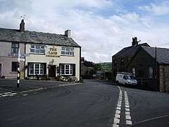 The Lion public house and crossroads, Ireby | |
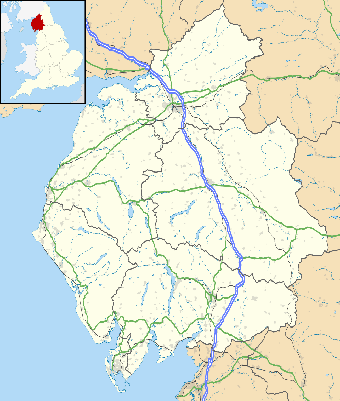 Ireby Location within Cumbria | |
| OS grid reference | NY238390 |
| Civil parish | |
| District | |
| Shire county | |
| Region | |
| Country | England |
| Sovereign state | United Kingdom |
| Post town | WIGTON |
| Postcode district | CA7 |
| Dialling code | 016973 |
| Police | Cumbria |
| Fire | Cumbria |
| Ambulance | North West |
| UK Parliament | |
It was granted a market charter in 1237.[2]
Location
It is located above the River Ellen, just outside the Lake District National Park, in the area locally called Back o'Skiddaw, with views to the Caldbeck Fells. The nearest towns are Wigton, 7 miles (11 km) away, and Cockermouth and Keswick, both 12 miles (19 km) away.
Nearby villages include Uldale, Torpenhow and Boltongate. Caldbeck is 6.1 miles (10 km) away.
Amenities
Ireby has two village halls, the main Globe Hall and the smaller Women's Institutes Hall.
Ireby has a music festival attracting a wide range of popular musicians and capacity audiences. In 2010 the Festival had Kate Rusby playing.
The village pub was reopened in 2016 after a long period of closure,[3] it was a haunt of John Peel.
Governance
Ireby is in the parliamentary constituency of Workington. In the December 2019 general election, the Tory candidate for Workington, Mark Jenkinson, was elected the MP, overturning a 9.4 per cent Labour majority from the 2017 election to eject shadow environment secretary Sue Hayman by a margin of 4,136 votes.[4] Until the December 2019 general election The Labour Party has won the seat in the constituency in every general election since 1979.The Conservative Party has only been elected once in Workington since World War 2, at the 1976 by-election.[5]
Before Brexit, its residents were covered by the North West England European Parliamentary Constituency.
For Local Government purposes it is in the Boltons Ward of Allerdale Borough Council and the Bothel and Wharrels Ward of Cumbria County Council.
The village forms part of the civil parish of Ireby and Uldale and has its own Parish Council along with Uldale, Ireby and Uldale Parish Council.[6][7]
See also
References
- Ordnance Survey: Landranger map sheet 89 West Cumbria (Cockermouth & Wast Water) (Map). Ordnance Survey. 2011. ISBN 9780319232057.
- "Visit Cumbria: Ireby". www.visitcumbria.com. Retrieved 4 April 2016.
- "North Cumbrian village pub is hoping for a roaring success".
- "Workington parliamentary constituency – Election 2019".
- "A vision of Britain website – general elections section". Retrieved 27 April 2012.
- "Ordnance Survey Election Maps". www.ordnancesurvey.co.uk. Ordnance Survey. Retrieved 3 April 2016.
- "Ireby & Uldale Parish Council".
| Wikimedia Commons has media related to Ireby, Cumbria. |
| Authority control |
|
|---|