Irapuram
Irapuram is a village in the Ernakulam district of Kerala, India. It is located in the Kunnathunad taluk.[1] It lies 9 km away from Perumbavoor towards Muvattupuzha.
Irapuram Airapuram | |
|---|---|
village | |
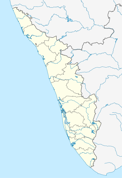 Irapuram Location in Kerala, India  Irapuram Irapuram (India) | |
| Coordinates: 10.0373733°N 76.513541°E | |
| Country | India |
| State | Kerala |
| District | Ernakulam |
| Taluk | Kunnathunad |
| Elevation | 19 m (62 ft) |
| Population (2011) | |
| • Total | 19,137 |
| Time zone | UTC+5:30 (IST) |
| 2011 census code | 627948 |
Demographics
According to the 2011 census of India, Irapuram has 4770 households. The literacy rate of the village is 86.98%.[2]
| Total | Male | Female | |
|---|---|---|---|
| Population | 19137 | 9573 | 9564 |
| Children aged below 6 years | 1709 | 883 | 826 |
| Scheduled caste | 2314 | 1165 | 1149 |
| Scheduled tribe | 74 | 34 | 40 |
| Literates | 16645 | 8467 | 8178 |
| Workers (all) | 8208 | 5607 | 2601 |
| Main workers (total) | 6841 | 4860 | 1981 |
| Main workers: Cultivators | 814 | 666 | 148 |
| Main workers: Agricultural labourers | 680 | 414 | 266 |
| Main workers: Household industry workers | 138 | 113 | 25 |
| Main workers: Other | 5209 | 3667 | 1542 |
| Marginal workers (total) | 1367 | 747 | 620 |
| Marginal workers: Cultivators | 201 | 154 | 47 |
| Marginal workers: Agricultural labourers | 340 | 194 | 146 |
| Marginal workers: Household industry workers | 63 | 30 | 33 |
| Marginal workers: Others | 763 | 369 | 394 |
| Non-workers | 10929 | 3966 | 6963 |
References
- "Kerala villages" (PDF). Land Records Information Systems Division, NIC. Archived from the original (PDF) on 4 March 2016. Retrieved 17 August 2015.
- "Ernakulam district census data". 2011 Census of India. Directorate of Census Operations. Retrieved 17 August 2015.
This article is issued from Wikipedia. The text is licensed under Creative Commons - Attribution - Sharealike. Additional terms may apply for the media files.