Inishbofin, County Donegal
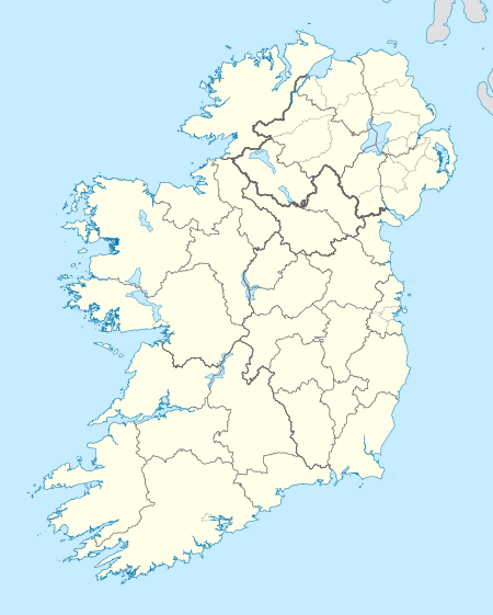
Inishbofin (Inis Bó Finne in Irish, meaning Island of the White Cow) is an island off the coast of Machaire Uí Rabhartaigh (Magheraroarty), County Donegal, Ireland.
| Native name: Inis Bó Finne | |
|---|---|
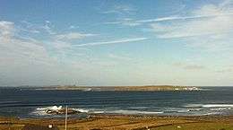 Inishbofin as seen from Machaire Rabhartaigh, with Tory Island visible in the distance, October 2011 | |
 Inishbofin | |
| Geography | |
| Location | Atlantic Ocean |
| Coordinates | 55°10′23″N 8°10′08″W |
| Area | 1.2 km2 (0.46 sq mi) |
| Administration | |
| Province | Ulster |
| County | Donegal |
| Demographics | |
| Population | 11 (2011) |
Geography
The island is a 120-hectare (300 acre) land mass, with an economy traditionally based on fishing and farming. Irish is spoken routinely. There are no pubs or shops on the island. There is a boat service to and from it but no regular ferry.
It is the largest of a small group of islands; the others, Inis Dúiche and Inis Beag, lie to the north and are uninhabited.
Demographics
Inishbofin's population dropped in 100 years from 166 (1911) to 11 (2011).
|
|
| |||||||||||||||||||||||||||||||||||||||||||||||||||||||||||||||||||||||||||||||||
| Source: Central Statistics Office. "CNA17: Population by Off Shore Island, Sex and Year". CSO.ie. Retrieved October 12, 2016. | |||||||||||||||||||||||||||||||||||||||||||||||||||||||||||||||||||||||||||||||||||
The table reports data taken from Discover the Islands of Ireland (Alex Ritsema, Collins Press, 1999) and the Census of Ireland. Census data in Ireland before 1841 were not complete and/or reliable.
Gallery
- Images of Inishbofin
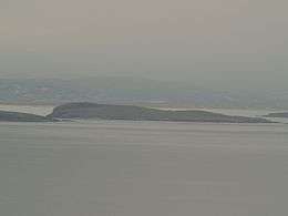 Inishbofin as seen from Tory Island
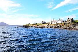 The harbour
 Inishbofin
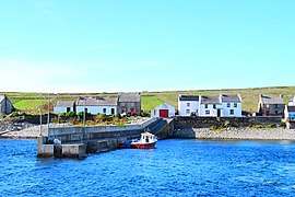 Landing at Inishbofin
See also
References
External links
- Inishbofin Island - The Island Website with information on the island and its history.
- Inis Bó Finne - information from Comhdháil Oileáin na hÉireann
- Inishbofin, Donegal - a first-hand account – with photographs – of one American's visit
- Historical Map of Inishbofin
Places in County Donegal | ||
|---|---|---|
| Towns |  | |
| Villages |
| |
| Townlands | ||
| Islands | ||
| Other regions | ||
| ||