Horseshoe Lake State Park
Horseshoe Lake State Park is an Illinois state park in Madison County, Illinois, United States. It is approximately 2,960 acres (1,198 ha) and surrounds a large horseshoe shaped lake called Horseshoe Lake. Horseshoe Lake is the second largest natural lake in Illinois taking up approximately 2,400 acres (971 ha) of the 2,960-acre (1,198 ha) park. The park has connections to Madison County Transit's Schoolhouse Trail, which connects to over 85 miles (137 km) of bike trail in Madison County, and even a trail which goes all of the way to downtown St. Louis after crossing the Mississippi River on the Chain of Rocks Bridge. The park is located in southeastern Granite City, Illinois, just a 10-mile (16 km) drive northeast of downtown St. Louis.
| Horseshoe Lake State Park | |
|---|---|
IUCN category III (natural monument or feature) | |
 Horseshoe Lake State Park, May 2009 | |
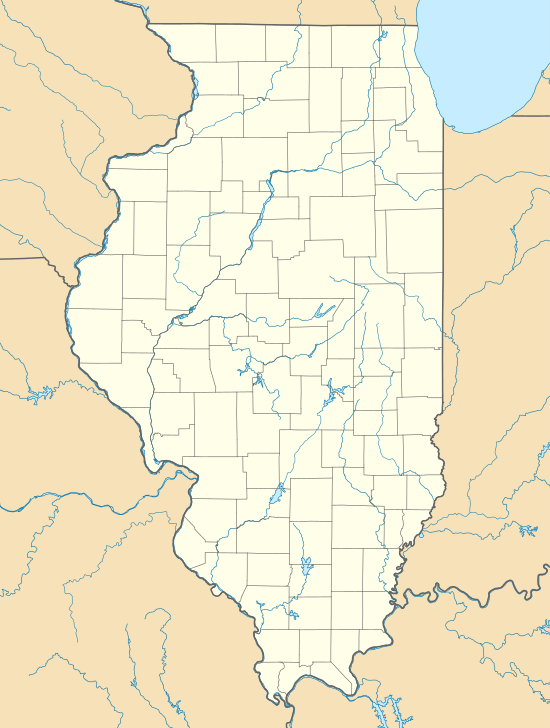 Map of the U.S. state of Illinois showing the location of Horseshoe Lake State Park | |
| Location | Madison County, Illinois, USA |
| Nearest city | Granite City, Illinois |
| Coordinates | 38°41′08″N 90°05′39″W |
| Area | 2,960 acres (1,198 ha) |
| Governing body | Illinois Department of Natural Resources |
References
- "Horseshoe Lake State Park". Illinois Department of Natural Resources. Archived from the original on 2007-04-02. Retrieved 2018-07-16.
- USGS. "Horseshoe Lake State Park, USGS Monks Mound (IL) Quad". TopoQuest. Retrieved 2008-07-05.
| Authority control |
|
|---|
This article is issued from Wikipedia. The text is licensed under Creative Commons - Attribution - Sharealike. Additional terms may apply for the media files.