Hollyford, County Tipperary
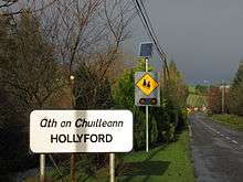
Hollyford (Irish: Áth an Chuillinn), is a small village in County Tipperary, Ireland. It is in the Roman Catholic parish of Kilcommon and Hollyford and Rearcross, in the Archdiocese of Cashel and Emly, and is in the barony of Kilnamanagh Lower.
Hollyford Irish: Áth an Chuillinn | |
|---|---|
Village | |
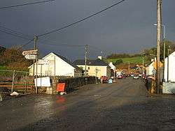 Hollyford village | |
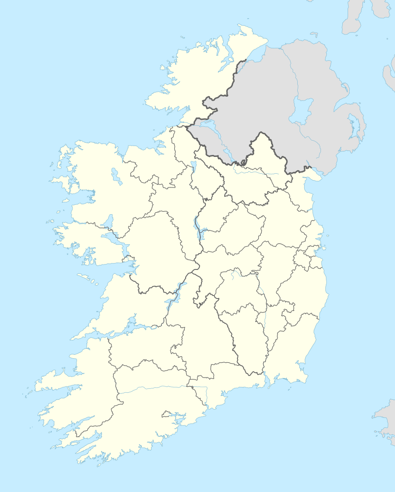 Hollyford Location in Ireland | |
| Coordinates: 52°38′03″N 8°06′39″W | |
| Country | Ireland |
| Province | Munster |
| County | County Tipperary |
Hollyford lies in a valley running through the Slieve Felim Mountains. It is on the R497 regional road, which runs north-south for 55 km through the Silvermine and Slieve Felim Mountains from Nenagh to Tipperary Town.
History
It was historically known in Irish as Áth Bhéal a' Chuillinn (anglicised Aghbellacullin), Béal a' Chuillinn (anglicised Bellacullin) and Cluain Mhurchaidh (anglicised Clonmurragha).
Part of the Cian route Patrick Sarsfield took for his daring attack on the Williamite siege train during the Siege of Limerick (1690) is marked out today, as "Sarsfield's Ride", and is now a walking and cycling route. It passes near the village of Hollyford. The O'Sullivan Beara Route, which passes through the village, runs from Castletownbere, County Cork for 350 km (220 mi) to Monaghan.
During the War of Independence on 11 May 1920, the IRA attacked the RIC barracks at Hollyford.[1]
Industry
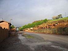
The only industry of any scale in the village today is the sawmill. The surrounding hills are heavily forested on the less productive land with agriculture mainly on the better areas.
Hollyford was briefly a location of some copper mining, the mines were mainly worked between 1837–1839, and again between 1848-1862.[2]
Anglesey Road SAC
Anglesey Road is a special area of conservation (site reference code 002125)[3] along the R497 road just north of the village. It is a small site containing a variety of habitats and species found in unimproved upland grassland within the steep valley of the Multeen, a tributary of the River Suir. The main threat to the site is agricultural improvement and afforestation. The road was named after the Marquis of Anglesey who gave orders to have it built.[4] The Marquis and his retinue were traversing the hill country by horse and carriage when they lost their bearings and sought shelter in the parish priest's house, who provided hospitality with an overnight stay and victuals for their ongoing journey. So impressed by the priest's magnanimity and generosity, the Marquis enquired of the pastor if he could do anything for him, to which the reputed reply was "build us a road". In due course, the Anglesey Line was laid and is still in use through the hills to this day.
Sport
Hollyford's local GAA club is Sean Tracey's GAA and is named after Irish rebel Sean Treacy, who was born nearby.
There is also a handball alley in Hollyford which was built in the 1950s and renovated in 1991. The renovation was paid for by local residents, and included the restoration of the handball alley.[5]
See also
- List of towns and villages in Ireland
References
- Chronology of the Irish War of Independence#May 2
- Dáil Éireann - Volume 158 - 26 June, 1956 - Ceisteanna—Questions. Oral Answers. - Tipperary Copper Mines Archived 2011-06-07 at the Wayback Machine
- http://www.npws.ie/protectedsites/specialareasofconservationsac/
- "Archived copy". Archived from the original on 2013-07-02. Retrieved 2013-04-23.CS1 maint: archived copy as title (link)
- Irish Handball Alley website. Archived 2013-01-27 at Archive.today
Places in County Tipperary | ||
|---|---|---|
| Towns | 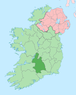 | |
| Villages |
| |
| Baronies | ||
| ||