Gaushala, Mahottari
Gaushala (Nepali: गौशाला ) is a municipality in Mahottari District in Province No. 2 of Nepal. The municipality was established on 18 May 2014 by merging existing Nigauli, Ramnagar, Gaushala VDCs.[2] It occupies an area of 144.73 sq. km with a total population of 66,673.[3][4][1]
Guashala गौशाला | |
|---|---|
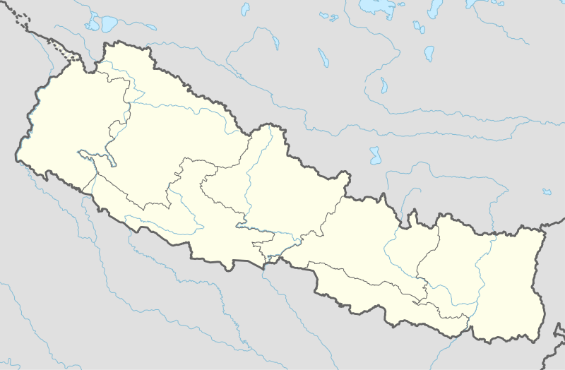 Guashala Location in Nepal | |
| Coordinates: 26.92°N 85.81°E | |
| Country | Nepal |
| Development Region | Central |
| Zone | Janakpur |
| District | Mahottari District |
| Province | Province No. 2 |
| Government | |
| • Mayor | Shivanath Mahato |
| • Deputy Mayor | Aasha Lama |
| Area | |
| • Total | 144.73 km2 (55.88 sq mi) |
| Population (2011)[1] | |
| • Total | 66,671 |
| • Density | 460/km2 (1,200/sq mi) |
| • Religions | Hindu, Muslim, Christian |
| Languages | |
| • Local | Maithili, Tharu, Nepali |
| Time zone | UTC+5:45 (NST) |
| Postal Code | 45700 |
| Area code(s) | 044 |
| Website | http://www.gaushalamun.gov.np/ |
Gaushala Bazar is the second largest business center in the Mahottari district of Nepal. The animal market of the place is well known. Gaushala is a variation of Goshala, a Sanskrit word that means the house of Cow. There is a huge cattle pen named Gaushala containing more than one hundred cows. It is protected by the government of Nepal.
The cow is regarded as a sacred animal in Nepal. Hindus considers the cow as mother, and worship the cow as a form of Goddess. Killing cows is illegal in Nepal. Ram Lakhan Chaudhary was Ex-VDC chief of Gaushala Bazar. Gaushala is developing day by day as the roads has been recently being made. Everest chemical is one of the oldest sugarcane mill in Nepal is situated in this municipality. This place is blessed with some tasty street foods with pretty lower cost. One high school namely tribhuvan higher secondary school is situated here which is established in 2006B.S.
References
- Nepal, Government of Nepal (November 2012). ""National Population and Housing Census 2011 (Village Development Committee/Municipality)" (PDF). National Planning Commission. Archived from the original (PDF) on 2018-10-05. Retrieved 8 December 2018.
- "Govt announces 72 new municipalities". kathmandupost.ekantipur.com. Retrieved 2018-12-08.
- "स्थानिय तह". 103.69.124.141. Archived from the original on 31 August 2018. Retrieved 1 September 2018.
- "Population Ward Level 753 Local Unit" (PDF). CBS. 2 June 2017. Archived from the original (PDF) on 27 January 2018. Retrieved 8 December 2018.
Headquarter: Jaleshwar | ||
| Municipalities: | 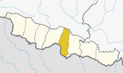 | |
| Rural Municipalities: |
| |