Ganga Choti
Ganga Choti (Urdu: گنگا چوٹی) is a peak near the Union Council Birpani village Bani Minhasan located in Bagh District of Azad Kashmir administered by Pakistan. It is located in Pir Panjal Range, at the elevation of 3,044 metres (9,987 ft).[2][3]
| Ganga Choti Bagh | |
|---|---|
 Ganga Choti in Bagh District | |
| Highest point | |
| Elevation | 3,044 m (9,987 ft) [1] |
| Listing | Mountains of Pakistan |
| Coordinates | 34°04′30″N 73°47′20″E |
| Geography | |
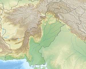 Ganga Choti Bagh Location within Pakistan | |
| Location | Bagh District, Azad Kashmir, Pakistan |
| Parent range | Pir Panjal |
See also
References
- "Ganga Choti on Maps". Google Maps. Retrieved 28 September 2018.
- "Ganga Choti - Bagh District". The Express Tribune. Retrieved 28 September 2018.
- "Ganga Choti, Bagh, Azad Kashmir". www.ntp.com. Retrieved 28 September 2018.
This article is issued from Wikipedia. The text is licensed under Creative Commons - Attribution - Sharealike. Additional terms may apply for the media files.