Gal, Azerbaijan
Gal (also, Qal, Gyal, Hal) is a village and the least populous municipality in the Julfa Rayon of Nakhchivan, Azerbaijan. It is located 20 km in the north from the district center, on the slope of the Ilandagh Mountain. Its population is busy with farming and animal husbandry. There are secondary school, cultural house, library, communication branch, and a medical center in the village. The İlandağ (Ilandagh) settlement of the Middle Ages was registered in the north-east of the village. It has a population of 128.[1] The village had a large, 19th century, Armenian church that was standing derelict in the 1980s [2] but which is now destroyed.[3]
Gal | |
|---|---|
Municipality | |
 Gal | |
| Coordinates: 39°07′21″N 45°44′48″E | |
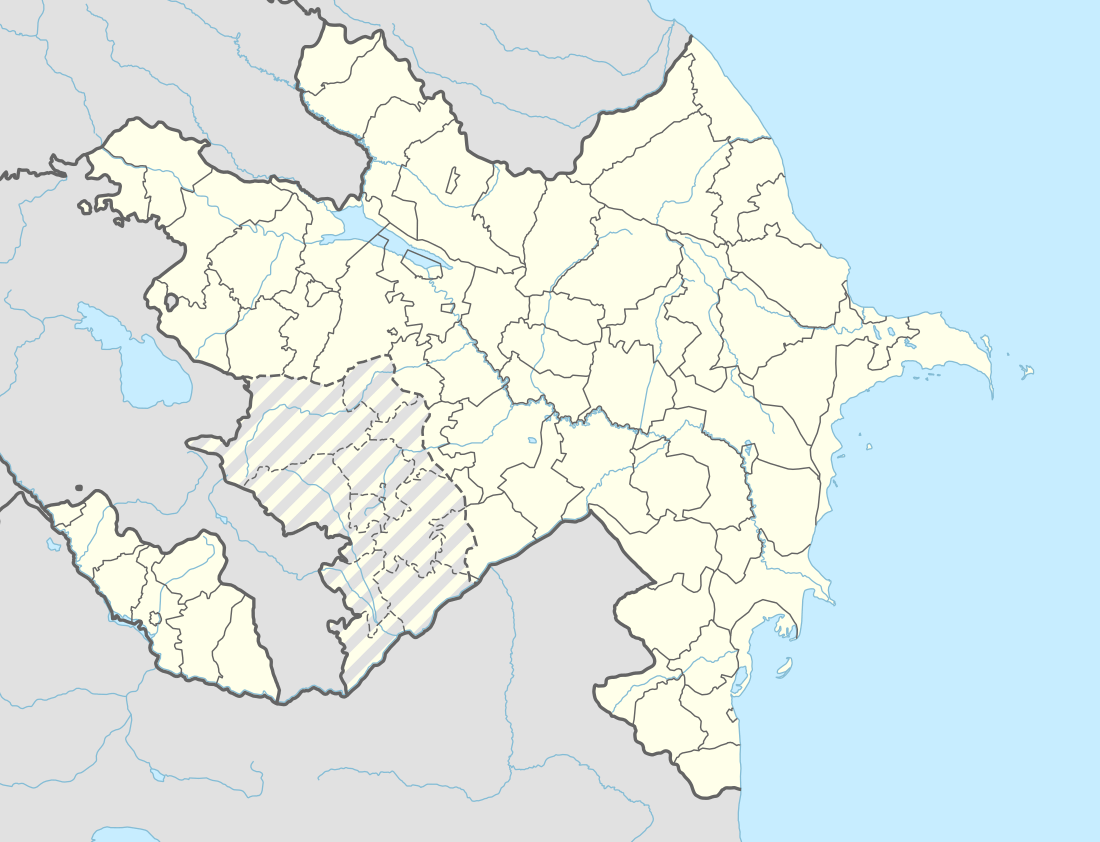
| Country | |
| Autonomous republic | Nakhchivan |
| Rayon | Julfa |
| Population (2005) | |
| • Total | 128 |
| Time zone | UTC+4 (AZT) |
Historical and archaeological monuments
İlandağ (Ilandagh)
İlandağ (Ilandagh) - the place of residence of the Middle Ages surrounded by steep cliffs, in the east slope of Ilandagh Mountain, in the north-east from the Gal village of the Julfa rayon. It is also called "Nabi Fortress" among the local population. The exploration research works were carried out (1991). Around the fortress, were surrounded by walls built of clay mud. The thickness of the cultural layer reaches from 0.5 m to the 1 m. Surface materials, mainly consists of the fragments of clay pot (the jug in the pink colored, the bowl-type containers). It is supposed that the Ilandagh settlement belongs to the 11th-18th centuries.[1]
References
- ANAS, Azerbaijan National Academy of Sciences (2005). Nakhchivan Encyclopedia. volume I. Baku: ANAS. p. 205. ISBN 5-8066-1468-9.
- Argam Aivazian, Nakhijevan: Book of Monuments, Yerevan, 1990 p178-179.
- Switzerland-Armenia Parliamentary Group (ed.) "The destruction of Jugha", Bern, 2006. p75.
.svg.png)