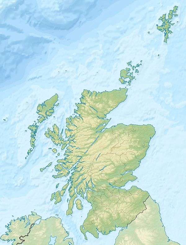
Fife Ness
Fife Ness (Scottish Gaelic: Rubha Fiobha) is a headland forming the most eastern point in Fife. Anciently the area was called Muck Ross, which is a corruption of the Scottish Gaelic Muc-Rois meaning "Headland of the Pigs".[3] It is situated in the area of Fife known as the East Neuk, and forms the muzzle of the dog-like outline of the latter when viewed on a map. Ness is an archaic Norse word meaning "nose".
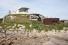 Fife Ness Light, August 2008 | |
 Scotland | |
| |
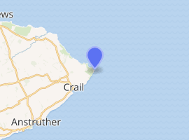
| Location | Fife Ness Crail Fife Scotland United Kingdom |
|---|---|
| Coordinates | 56.278834°N 2.585789°W |
| Year first constructed | 1975 |
| Construction | concrete building |
| Tower shape | lantern attached to 1-storey building |
| Markings / pattern | white building |
| Tower height | 5 metres (16 ft) |
| Focal height | 12 metres (39 ft) |
| Light source | mains power |
| Range | white: 21 nautical miles (39 km; 24 mi) red: 20 nautical miles (37 km; 23 mi) |
| Characteristic | Iso WR 10s. |
| Admiralty number | A3102 |
| NGA number | 2612 |
| ARLHS number | SCO-081 |
| Managing agent | Northern Lighthouse Board[1][2] |
Fife Ness was home to a Coastguard station until 2012[4] and an important Northern Lighthouse Board lighthouse built in 1975 on project by P. H. Hyslop, warning shipping of the headland and the North Carr shoals. The lighthouse was built to replace the last in a series of lightvessels that guarded the treacherous rocks, as it had proved impossible to build a permanent lighthouse on the rocks themselves.
Fife Ness is also surrounded by the links terrain of Crail Golfing Society.
References
- Fife Ness The Lighthouse Directory. University of North Carolina at Chapel Hill. Retrieved 16 May 2016
- Fife Ness Northern Lighthouse Board. Retrieved 16 May 2016
- Sibbald, Robert, The History of Fife, p4
- "Over and out: Forth coastguard signs off". The Guardian. Retrieved 30 November 2018.