Favre Bjerg
Favre Bjerg (Danish: Favres Bjerg)[2] is a mountain in eastern Greenland. Administratively it is part of the Northeast Greenland National Park.[3]
| Favre Bjerg | |
|---|---|
 Favre Bjerg Hudson Land, Greenland | |
| Highest point | |
| Elevation | 1,900 m (6,200 ft) [1] |
| Coordinates | 73°56.3′N 23°17.7′W [1] |
| Geography | |
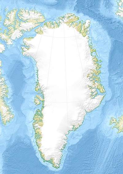
| Location | Hudson Land, Greenland |
This peak was named at the time of Lauge Koch’s 1936–38 expedition after Swiss geologist Jean Alphonse Favre (1815–1890). The name was chosen by Heinrich Bütler (1893–1983), another Swiss geologist who worked for many years with Lauge Koch in his East Greenland expeditions.[1]
Geography
Favre Bjerg is a roughly 1,900 m (6,200 ft) high peak that rises in the northern part of central Hudson Land, west of the Stordalen valley and the Norlund Alps.[3] It is the highest point of Hudson Land.[4] This mountain is marked as a 6,544-foot-high (1,995 m) peak in the Defense Mapping Agency Greenland Navigation charts.
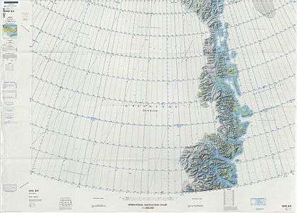 Map of Northeastern Greenland |
See also
References
- "Catalogue of place names in northern East Greenland". Geological Survey of Denmark. Retrieved 30 September 2019.
- "Favres Bjerg". Mapcarta. Retrieved 1 October 2019.
- Google Earth
- Peakbagger, Favres Bjerg
This article is issued from Wikipedia. The text is licensed under Creative Commons - Attribution - Sharealike. Additional terms may apply for the media files.