Eryholme
Eryholme is a village and civil parish in the district of Richmondshire in North Yorkshire, England. As the population remained less than 100 in the 2011 census, information is included with that of Dalton-on-Tees.[1]
| Eryholme | |
|---|---|
 St Mary the Virgin church, Eryholme | |
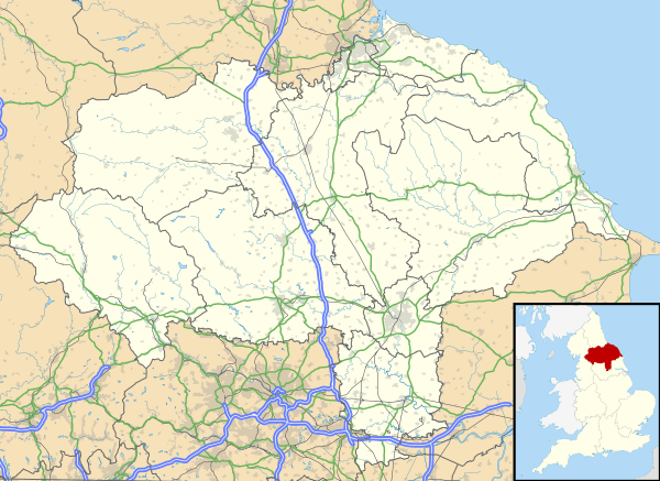 Eryholme Location within North Yorkshire | |
| Population | 80 |
| OS grid reference | NZ321083 |
| Civil parish |
|
| District | |
| Shire county | |
| Region | |
| Country | England |
| Sovereign state | United Kingdom |
| Post town | DARLINGTON |
| Postcode district | DL2 |
| Dialling code | 01325 |
| Police | North Yorkshire |
| Fire | North Yorkshire |
| Ambulance | Yorkshire |
| UK Parliament |
|
The village is situated on the south bank of the River Tees, opposite Hurworth, 4.5 miles (7.2 km) south-east of Darlington.[2]
In this part of the Tees Valley the river forms many loops called 'holmes'. The word 'holm' is of Viking origin and means "island formed by a river".[3] Eryholme's name is, however, a corruption of its original name 'Erghum'. This name means shieling - a shelter for livestock, which comes from the Old Irish word 'airgh'.[4] This word was introduced into Yorkshire place names by Norwegian Vikings who had lived in Ireland for a number of generations and adopted many Irish words.

The Church of St Mary the Virgin in Eryholme is a grade II* listed plain sandstone building, originally built c.1200 and modified in the 13th, 14th and 16th centuries. The registers at the church date from 1565.[5]
There are the remains of a Victorian era brick and tile works in the village.[6] There used to be a railway station called Eryholme but it was located at Dalton-on-Tees, some 1.9 miles (3 km) south-west of the village.[2] Passenger services ceased in 1911 but were restarted during the Second World War for personnel serving at the nearby RAF Croft.[7]
The chief activity is farming, the farms forming part of the Neasham estate owned by the Wrightson family. The village was famous for the breeding of shorthorn cattle and a cow sold to the Colling brothers became part of the original stock from which were bred the Durham Ox and Comet.[8]
References
- UK Census (2011). "Local Area Report – Dalton-on-Tees Parish (1170217137)". Nomis. Office for National Statistics. Retrieved 27 September 2018.
- "304" (Map). Darlington & Richmond. 1:25,000. Explorer. Ordnance Survey. 2015. ISBN 9780319245569.
- Ekwall, Eilert (1960). The Concise Oxford dictionary of English Place-names (4 ed.). Oxford: Clarendon Press. p. 246. ISBN 0-19-869103-3.
- Ekwall, Eilert (1960). The Concise Oxford dictionary of English Place-names (4 ed.). Cambridge: Cambridge University Press. p. 168. OCLC 400936.
- Historic England. "CHURCH OF ST MARY THE VIRGIN (1131336)". National Heritage List for England. Retrieved 6 December 2013.
- "GENUKI: Eryholme Parish information from Bulmers' 1890". www.genuki.org.uk. Retrieved 9 February 2017.
- "Disused Stations: Eryholme Station". www.disused-stations.org.uk. Retrieved 9 February 2017.
- "Eryholme". East Richmond Team Ministry. Archived from the original on 29 August 2013. Retrieved 6 December 2013.