Eret, Mississippi
Eret is an unincorporated community in Wayne County, Mississippi, United States.
Eret, Mississippi | |
|---|---|
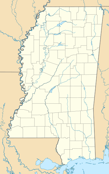 Location of Eret in Mississippi | |
| Coordinates: 31°28′13″N 88°28′56″W | |
| Country | United States |
| State | Mississippi |
| County | Wayne |
| Elevation | 194 ft (59 m) |
| Time zone | UTC-6 (Central (CST)) |
| • Summer (DST) | UTC-5 (CDT) |
| Area code(s) | 601 & 769 |
| GNIS feature ID | 691847[1] |
| Other name | Pine Bluff[1] |
The town was named for the late wife of Fred Clark, who owned most of the land in the area.
Eret was located on the Mobile and Ohio Railroad, built through Mississippi in the 1850s. The town never had a post office, and never incorporated.[2]
References
- "Eret". Geographic Names Information System. United States Geological Survey. Retrieved 2008-04-24.
- Howe, Tony. "Eret, Mississippi". Mississippi Rails. Retrieved March 2014. Check date values in:
|accessdate=(help)
Municipalities and communities of Wayne County, Mississippi, United States | ||
|---|---|---|
| Cities | 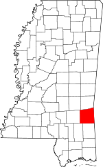 Map of Mississippi highlighting Wayne County | |
| Towns | ||
| CDPs | ||
| Other unincorporated communities |
| |
| Ghost town | ||
| Footnotes | ‡This populated place also has portions in an adjacent county or counties | |
This article is issued from Wikipedia. The text is licensed under Creative Commons - Attribution - Sharealike. Additional terms may apply for the media files.