Edinburg Township, Portage County, Ohio
Edinburg Township is one of the eighteen townships of Portage County, Ohio, United States. The 2010 census found 2,586 people in the township.
Edinburg Township | |
|---|---|
 Location within Portage County | |
 Edinburg Township Location in the United States and Ohio 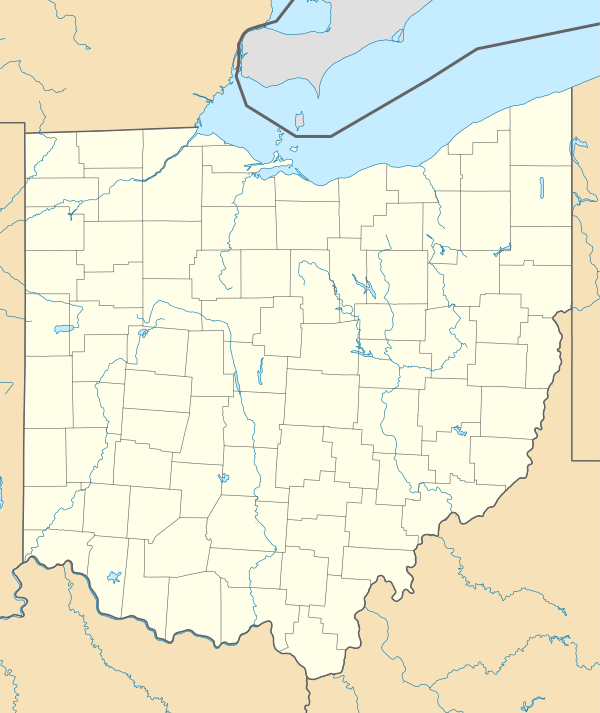 Edinburg Township Edinburg Township (Ohio) | |
| Coordinates: 41°6′22″N 81°8′58″W | |
| Country | United States |
| State | Ohio |
| County | Portage |
| Area | |
| • Total | 24.5 sq mi (63.4 km2) |
| • Land | 24.2 sq mi (62.6 km2) |
| • Water | 0.3 sq mi (0.7 km2) |
| Elevation | 1,181 ft (360 m) |
| Population (2000) | |
| • Total | 2,344 |
| • Density | 96.9/sq mi (37.4/km2) |
| Time zone | UTC-5 (Eastern (EST)) |
| • Summer (DST) | UTC-4 (EDT) |
| ZIP code | 44272 and 44266 |
| Area code(s) | 330 |
| FIPS code | 39-24584[2] |
| GNIS feature ID | 1086826[1] |

Geography
Located in the southeastern part of the county, it borders the following townships:
- Charlestown Township - north
- Paris Township - northeast corner
- Palmyra Township - east
- Deerfield Township - southeast corner
- Atwater Township - south
- Randolph Township - southwest corner
- Rootstown Township - west
- Ravenna Township - northwest corner
No municipalities are located in Edinburg Township.
Formed from the Connecticut Western Reserve, Edinburg Township covers an area of 24 sq mi (62 km2).
Name and history
The first settlement at Edinburg was made in 1815 and the township was organized in 1819. It is named for Lewis Eddy, a pioneer settler, and was originally called "Eddysburg".[3][4] It is the only Edinburg Township statewide.[5] A post office was established at Edinburg in 1822, and remained in operation until 1903.[6][7]
Government
The township is governed by a three-member board of trustees, who are elected in November of odd-numbered years to a four-year term beginning on the following January 1. Two are elected in the year after the presidential election and one is elected in the year before it. There is also an elected township fiscal officer,[8] who serves a four-year term beginning on April 1 of the year after the election, which is held in November of the year before the presidential election. Vacancies in the fiscal officership or on the board of trustees are filled by the remaining trustees.
References
- "US Board on Geographic Names". United States Geological Survey. 2007-10-25. Retrieved 2008-01-31.
- "U.S. Census website". United States Census Bureau. Retrieved 2008-01-31.
- Gannett, Henry (1905). The Origin of Certain Place Names in the United States. Govt. Print. Off. pp. 114.
- Overman, William Daniel (1958). Ohio Town Names. Akron, OH: Atlantic Press. p. 42.
- "Detailed map of Ohio" (PDF). United States Census Bureau. 2000. Retrieved 2007-02-16.
- "Portage County". Jim Forte Postal History. Archived from the original on 4 March 2016. Retrieved 13 January 2016.
- Brown, Robert C.; Norris, J. E. (1885). History of Portage County, Ohio: Containing a History of the County, Its Townships, Towns, Villages, Schools, Churches, Industries, Etc. Warner, Beers & Company. pp. 425–426.
- §503.24, §505.01, and §507.01 of the Ohio Revised Code. Accessed 4/30/2009.
External links
Municipalities and communities of Portage County, Ohio, United States | ||
|---|---|---|
| Cities |  Map of Ohio highlighting Portage County | |
| Villages | ||
| Townships | ||
| CDPs | ||
| Unincorporated communities | ||
| Historical places |
| |
| Footnotes | ‡This populated place also has portions in an adjacent county or counties | |