Dobrianka
Dobrianka (Ukrainian: Добрянка, Russian: Добрянка) is an urban-type settlement in Ripky Raion, Chernihiv Oblast, Ukraine. Population: 2,760 (2019 est.)[2]
Dobrianka Добрянка | |
|---|---|
Urban-type settlement | |
 Dobrianka | |
| Coordinates: 52°03′45″N 31°10′57″E | |
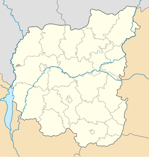
| Country | Ukraine |
| Oblast | Chernihiv Oblast |
| Raion | Ripky Raion |
| Population (2019) | |
| • Total | 2,760[1] |
| Time zone | UTC+2 (EET) |
| • Summer (DST) | UTC+3 (EEST) |
Dobrianka is located on the left bank of the Nemylnia River which makes the state border between Ukraine and Belarus.
History
It was a settlement in Chernigov Governorate of the Russian Empire.
Urban-type settlement since 1924.
During World War II it was occupied by Axis troops from August 12, 1941 until September 29, 1943.
In 1971, there was a furniture factory, a clothing factory, a vegetable drying plant, and a peat-producing enterprise[3].
In January 1989, the population was 4042[4]
Transportation
А railway station[3], on the Southwestern Railways connecting Chernihiv and Gomel, is located in Dobrianka. This is the closest station to the border from the Ukrainian side.
Dobrianka has access to Highway M01 which connects Kiev via Chernihiv to the state border and continues to Gomel behind the border.
References
- Чисельність наявного населення України на 1 січня 2019 року. Державна служба статистики України. Київ, 2019. стор.81
- "Чисельність наявного населення України (Actual population of Ukraine)" (PDF) (in Ukrainian). State Statistics Service of Ukraine. Retrieved 23 May 2020.
- Добрянка // Большая Советская Энциклопедия. / под ред. А. М. Прохорова. 3-е изд. том 8. М., «Советская энциклопедия», 1972.
- Всесоюзная перепись населения 1989 г. Численность городского населения союзных республик, их территориальных единиц, городских поселений и городских районов по полу
| Raions | |||||
|---|---|---|---|---|---|
| Hromadas | |||||
| Cities |
| ||||
| |||||